Approximate Location Map
Large Map »
Latitude: 51.1979 / 51°11'52"N
Longitude: 0.2784 / 0°16'42"E
OS Eastings: 559285
OS Northings: 146770
OS Grid: TQ592467
Mapcode National: GBR MP0.Z1L
Mapcode Global: VHHQ6.S41Z
Plus Code: 9F3257XH+59
Entry Name: 15, Bordyke
Listing Date: 20 January 1972
Grade: II
Source: Historic England
Source ID: 1070004
English Heritage Legacy ID: 178656
ID on this website: 101070004
Location: The Park, Tonbridge and Malling, Kent, TN9
County: Kent
District: Tonbridge and Malling
Electoral Ward/Division: Medway
Parish: Non Civil Parish
Built-Up Area: Tonbridge
Traditional County: Kent
Lieutenancy Area (Ceremonial County): Kent
Church of England Parish: Tonbridge St Peter and St Paul
Church of England Diocese: Rochester
Tagged with: House
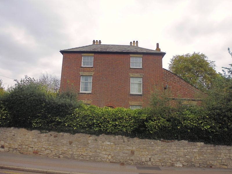
1. BORDYKE
1732
No 15
TQ 5946 NW 3/41
II
2.
Early C19. 3 storeys. 2 windows. Red brick. Eaves cornice. Hipped
slate roof. Glazing bars missing. Trellised wooden porch on the west
side. Portion added on east side with pentice roof.
Listing NGR: TQ5928746775
External links are from the relevant listing authority and, where applicable, Wikidata. Wikidata IDs may be related buildings as well as this specific building. If you want to add or update a link, you will need to do so by editing the Wikidata entry.


Other nearby listed buildings
