Approximate Location Map
Large Map »
Latitude: 51.2273 / 51°13'38"N
Longitude: 0.3761 / 0°22'34"E
OS Eastings: 566005
OS Northings: 150253
OS Grid: TQ660502
Mapcode National: GBR NQ2.ZX9
Mapcode Global: VHJMJ.GDPZ
Plus Code: 9F3269GG+WC
Entry Name: Crowhurst Farmhouse
Listing Date: 19 April 1985
Grade: II
Source: Historic England
Source ID: 1069963
English Heritage Legacy ID: 178760
ID on this website: 101069963
Location: Peckham Bush, Tonbridge and Malling, Kent, TN12
County: Kent
District: Tonbridge and Malling
Civil Parish: East Peckham
Traditional County: Kent
Lieutenancy Area (Ceremonial County): Kent
Church of England Parish: East Peckham
Church of England Diocese: Rochester
Tagged with: Farmhouse
TQ 65 SE EAST PECKHAM BELLS FARM ROAD
(south side)
2/67 Crowhurst Farmhouse
-
- II
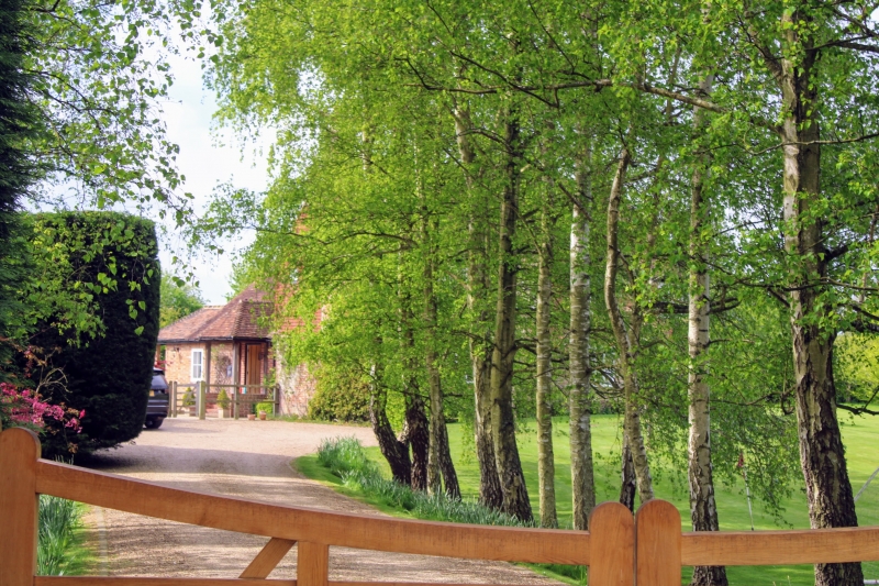
Farmhouse. C18 Red brick ground floor, tile-hung 1st floor. Tiled roof, hip-
ped to left. 2 storeys, 4-window front, modern casements. Blocked entrance
off-centre to right. Projecting wing to rear.
Listing NGR: TQ6594150287
External links are from the relevant listing authority and, where applicable, Wikidata. Wikidata IDs may be related buildings as well as this specific building. If you want to add or update a link, you will need to do so by editing the Wikidata entry.


Other nearby listed buildings
