Approximate Location Map
Large Map »
Latitude: 51.2616 / 51°15'41"N
Longitude: 0.4316 / 0°25'53"E
OS Eastings: 569754
OS Northings: 154186
OS Grid: TQ697541
Mapcode National: GBR NPS.V83
Mapcode Global: VHJMC.FKJ7
Plus Code: 9F327C6J+JJ
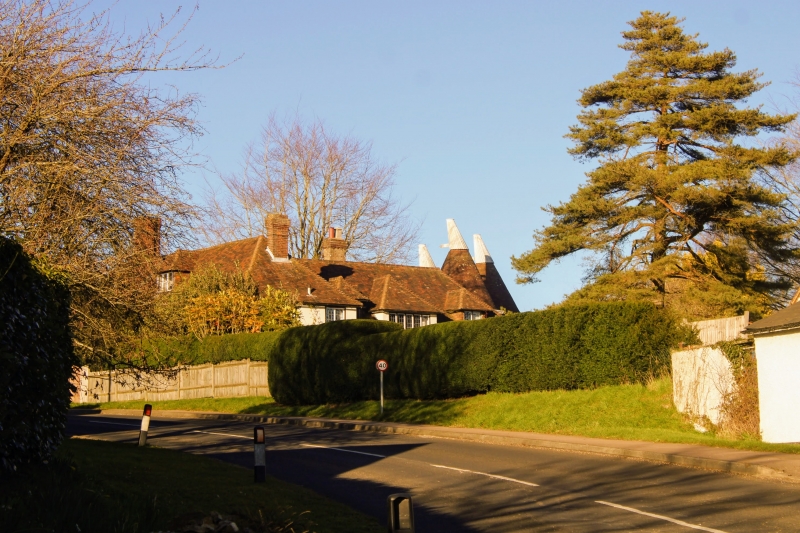
Entry Name: Oaken Wood
Listing Date: 19 April 1985
Grade: II
Source: Historic England
Source ID: 1070662
English Heritage Legacy ID: 178930
ID on this website: 101070662
Location: Red Hill, Tonbridge and Malling, Kent, ME18
County: Kent
District: Tonbridge and Malling
Civil Parish: Wateringbury
Traditional County: Kent
Lieutenancy Area (Ceremonial County): Kent
Church of England Parish: Wateringbury St John the Baptist
Church of England Diocese: Rochester
Tagged with: Building
TQ 65 SE WATERINGBURY RED HILL
(east side)
2/105 Oaken Wood
GV II
Farmhouse. C17. L-shape in plan. Timber-framed with plain tiled roof. C18 plastered elevation towards road. 1 end stack, 1 ridge stack and 2 modern dormers. 2 storeys, 4 window facade. Modern casements. Entrance to left.
Listing NGR: TQ6975454185
External links are from the relevant listing authority and, where applicable, Wikidata. Wikidata IDs may be related buildings as well as this specific building. If you want to add or update a link, you will need to do so by editing the Wikidata entry.


Other nearby listed buildings
