Approximate Location Map
Large Map »
Latitude: 51.3036 / 51°18'12"N
Longitude: 0.4793 / 0°28'45"E
OS Eastings: 572920
OS Northings: 158970
OS Grid: TQ729589
Mapcode National: GBR PQS.802
Mapcode Global: VHJM6.8H7J
Plus Code: 9F328F3H+CP
Entry Name: 57 and 59, High Street
Listing Date: 1 August 1952
Last Amended: 25 February 1987
Grade: II
Source: Historic England
Source ID: 1363109
English Heritage Legacy ID: 179238
ID on this website: 101363109
Location: Aylesford, Tonbridge and Malling, Kent, ME20
County: Kent
District: Tonbridge and Malling
Civil Parish: Aylesford
Built-Up Area: Ditton
Traditional County: Kent
Lieutenancy Area (Ceremonial County): Kent
Church of England Parish: Aylesford St Peter and St Paul
Church of England Diocese: Rochester
Tagged with: Building
AYLESFORD CP HIGH STREET
TQ 7258
(south side)
12/58
Nos 57 and 59 (formerly
listed as Gabled house
1.8.52 occupied by Mrs A M Potts
to rear of the Chequers Inn)
- II
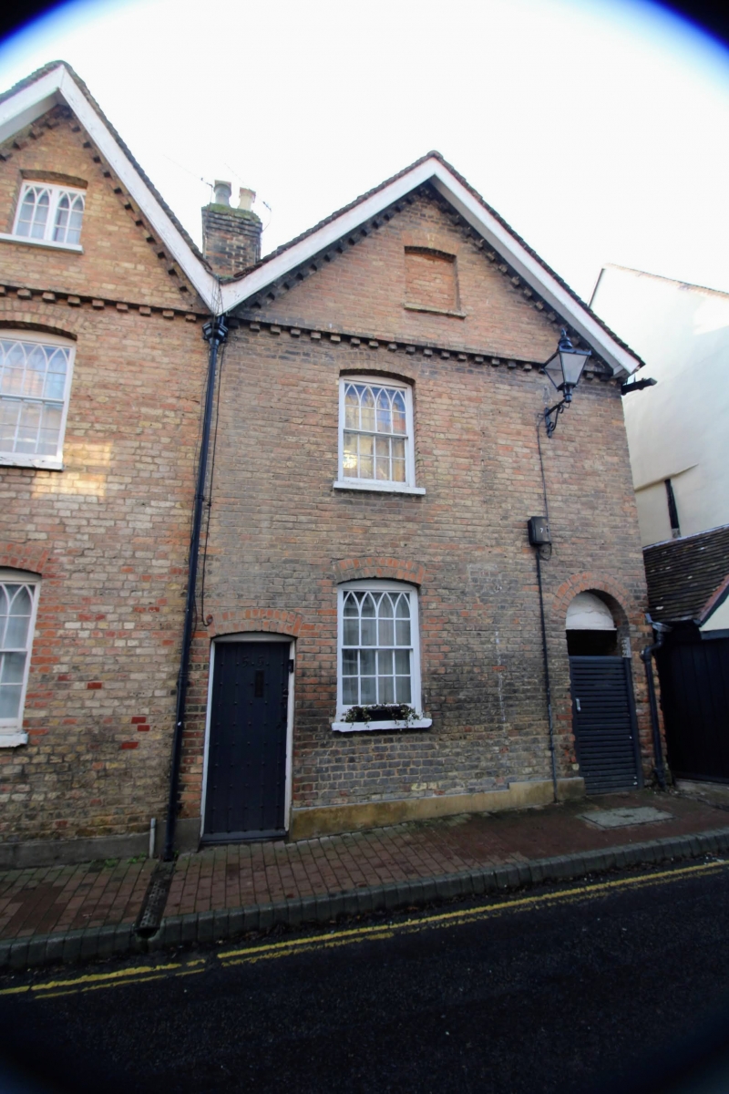
House. Circa 1880. Brown brick to right with brown brick ground floor to left,
infilling timber-framing. Jettied over to left with timber-framing infilled
with plaster. The left-hand part of the building projects and the, jetty around
it is supported on beam-ends, dragon-beams and dragon-brackets, all with a
moulded timber fascia. Plain tiled roof, higher and cross-gabled to left.
Gabled semi-dormer to right and left end stack. Ridge stack to left. 2 storeys
to left, 1 1/2 to right. Large square oriel on a carved bracket to left on 1st
floor. 1 window on ground floor to right below semi-dormer. Boarded and ribbed
doors to right, left (No 59) and right (No 57) of the ground floor window.
house is to the rear of the Chequers Inn, looking out over the river, in the
general view of which it plays a prominent part.
Listing NGR: TQ7292058972
External links are from the relevant listing authority and, where applicable, Wikidata. Wikidata IDs may be related buildings as well as this specific building. If you want to add or update a link, you will need to do so by editing the Wikidata entry.


Other nearby listed buildings
