Approximate Location Map
Large Map »
Latitude: 51.3414 / 51°20'28"N
Longitude: 0.4832 / 0°28'59"E
OS Eastings: 573055
OS Northings: 163181
OS Grid: TQ730631
Mapcode National: GBR PQ6.WHV
Mapcode Global: VHJM0.BKB2
Plus Code: 9F328FRM+G7
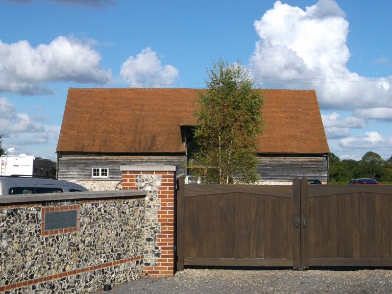
Entry Name: Barn at Burham Hill
Listing Date: 25 February 1987
Grade: II
Source: Historic England
Source ID: 1070524
English Heritage Legacy ID: 179291
ID on this website: 101070524
Location: Scarborough, Tonbridge and Malling, Kent, ME5
County: Kent
District: Tonbridge and Malling
Civil Parish: Burham
Traditional County: Kent
Lieutenancy Area (Ceremonial County): Kent
Church of England Parish: Chatham St Stephen
Church of England Diocese: Rochester
Tagged with: Barn
BURHAM CP HILL ROAD
TQ 76 SW
(north side)
4/118
Barn at Burham Hill
-
- II
Barn. C17. Timber-framed on very deep brick plinth clad in corrugated iron with
corrugated iron roof. Wagon entrances in south-end and east side. Interior:
aisled with jowled and extra bracketted supporting braces. Queen post side
purlin roof.
Listing NGR: TQ7305563181
External links are from the relevant listing authority and, where applicable, Wikidata. Wikidata IDs may be related buildings as well as this specific building. If you want to add or update a link, you will need to do so by editing the Wikidata entry.


Other nearby listed buildings
