Approximate Location Map
Large Map »
Latitude: 51.0682 / 51°4'5"N
Longitude: 0.6866 / 0°41'11"E
OS Eastings: 588329
OS Northings: 133309
OS Grid: TQ883333
Mapcode National: GBR QW3.SJJ
Mapcode Global: FRA D6B9.7BS
Plus Code: 9F323M9P+7J
Entry Name: 52-56, High Street
Listing Date: 8 June 1972
Grade: II
Source: Historic England
Source ID: 1363202
English Heritage Legacy ID: 179756
ID on this website: 101363202
Location: Tenterden, Ashford, Kent, TN30
County: Kent
District: Ashford
Civil Parish: Tenterden
Built-Up Area: Tenterden
Traditional County: Kent
Lieutenancy Area (Ceremonial County): Kent
Tagged with: Building
1.
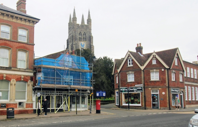
1715 HIGH STREET
(North Side)
Nos 52 to 56 (even)
TQ 8833 1/43
II
2.
A timber-framed building. C17. Originally one house, now a hotel with
2 shops below. 2 storeys and attic tile-hung. 2 windows and a gable
facing the High Street, 3 windows and 2 dormers facing School Lane.
Small bay window on 1st floor with glazing bars intact. Modern shop front.
Addition on ground floor level only on the east side.
Listing NGR: TQ8832433318
External links are from the relevant listing authority and, where applicable, Wikidata. Wikidata IDs may be related buildings as well as this specific building. If you want to add or update a link, you will need to do so by editing the Wikidata entry.


Other nearby listed buildings
