Approximate Location Map
Large Map »
Latitude: 51.0526 / 51°3'9"N
Longitude: 0.6297 / 0°37'46"E
OS Eastings: 584403
OS Northings: 131429
OS Grid: TQ844314
Mapcode National: GBR QW6.XPK
Mapcode Global: FRA D66B.H5G
Plus Code: 9F323J3H+2V
Entry Name: 36-46, High Street
Listing Date: 9 August 1979
Grade: II
Source: Historic England
Source ID: 1115683
English Heritage Legacy ID: 180339
ID on this website: 101115683
Location: Rolvenden, Ashford, Kent, TN17
County: Kent
District: Ashford
Civil Parish: Rolvenden
Built-Up Area: Rolvenden
Traditional County: Kent
Lieutenancy Area (Ceremonial County): Kent
Tagged with: Building
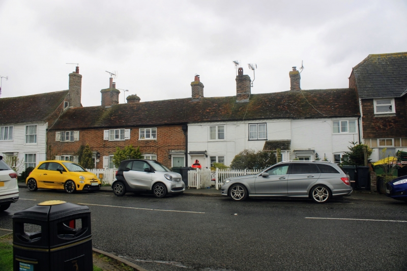
ROLVENDEN HIGH STEZZT
1.
5272
(west side)
Nos 36 to 46 (even)
TQ 8431 18/295
II GV
2.
Early C19 range. Two storeys red brick, Nos 44 and 46 now painted. Tiled
roof with brick modillion eaves cornice. Six casements in all, some with
shutters. Doorcases with flat hoods over on brackets.
Listing NGR: TQ8440131423
External links are from the relevant listing authority and, where applicable, Wikidata. Wikidata IDs may be related buildings as well as this specific building. If you want to add or update a link, you will need to do so by editing the Wikidata entry.


Other nearby listed buildings
