Approximate Location Map
Large Map »
Latitude: 51.0529 / 51°3'10"N
Longitude: 0.6296 / 0°37'46"E
OS Eastings: 584396
OS Northings: 131458
OS Grid: TQ843314
Mapcode National: GBR QW6.XPG
Mapcode Global: FRA D66B.H48
Plus Code: 9F323J3H+4R
Entry Name: 52 and 54, High Street
Listing Date: 16 August 1962
Grade: II
Source: Historic England
Source ID: 1070922
English Heritage Legacy ID: 180340
ID on this website: 101070922
Location: Rolvenden, Ashford, Kent, TN17
County: Kent
District: Ashford
Civil Parish: Rolvenden
Built-Up Area: Rolvenden
Traditional County: Kent
Lieutenancy Area (Ceremonial County): Kent
Tagged with: Building
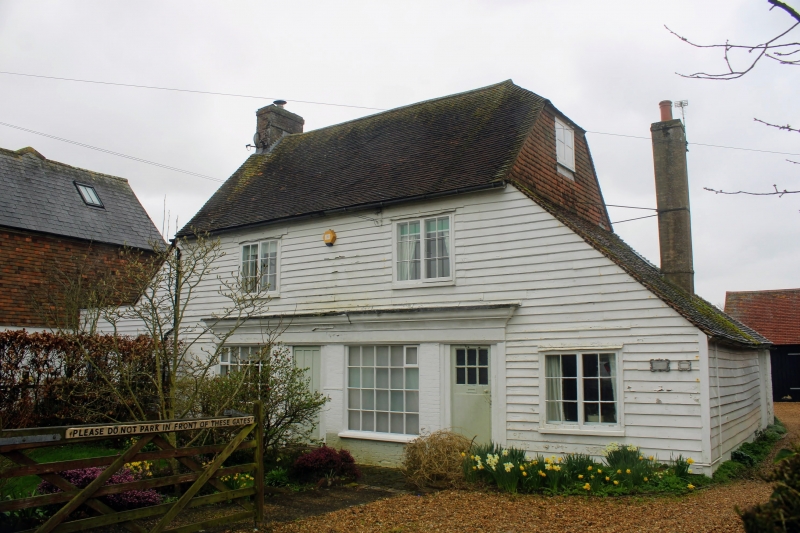
ROLVENDEN HIGH STREET
1.
5272 (west side)
Nos 52 and 54
TQ 8431 18/296 16.8.62.
II GV
2.
One building. C18. Two storeys faced with weatherboarding except part of
the ground floor which is of painted brick. Tiled roof with pentice to north
and south. Two casement windows. Two modern shop windows in C18 style complete
with glazing bars.
Listing NGR: TQ8439131467
External links are from the relevant listing authority and, where applicable, Wikidata. Wikidata IDs may be related buildings as well as this specific building. If you want to add or update a link, you will need to do so by editing the Wikidata entry.


Other nearby listed buildings
