Approximate Location Map
Large Map »
Latitude: 51.0537 / 51°3'13"N
Longitude: 0.6295 / 0°37'46"E
OS Eastings: 584384
OS Northings: 131551
OS Grid: TQ843315
Mapcode National: GBR QW6.XMW
Mapcode Global: FRA D66B.H1P
Plus Code: 9F323J3H+FQ
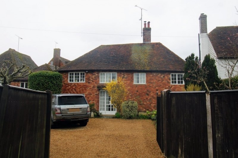
Entry Name: Forge Cottage
Listing Date: 4 June 1952
Grade: II
Source: Historic England
Source ID: 1070923
English Heritage Legacy ID: 180344
ID on this website: 101070923
Location: Rolvenden, Ashford, Kent, TN17
County: Kent
District: Ashford
Civil Parish: Rolvenden
Built-Up Area: Rolvenden
Traditional County: Kent
Lieutenancy Area (Ceremonial County): Kent
Tagged with: Cottage
ROLVENDEN HIGH STREET
1.
5272 (west side)
No 64 (Forge Cottage)
TQ 8431 18/300 4.6.52.
II GV
2.
Probably C17. Two storeys tile hung. Hipped tiled roof. Casement windows
with small square leaded panes. Doorcase with flat hood over.
Listing NGR: TQ8438431551
External links are from the relevant listing authority and, where applicable, Wikidata. Wikidata IDs may be related buildings as well as this specific building. If you want to add or update a link, you will need to do so by editing the Wikidata entry.


Other nearby listed buildings
