Approximate Location Map
Large Map »
Latitude: 51.0426 / 51°2'33"N
Longitude: 0.6461 / 0°38'46"E
OS Eastings: 585595
OS Northings: 130364
OS Grid: TQ855303
Mapcode National: GBR QWF.G6G
Mapcode Global: FRA D67C.9KD
Plus Code: 9F322JVW+3F
Entry Name: Winser Farmhouse
Listing Date: 16 August 1962
Grade: II
Source: Historic England
Source ID: 1335854
English Heritage Legacy ID: 180383
ID on this website: 101335854
Location: Rolvenden Layne, Ashford, Kent, TN17
County: Kent
District: Ashford
Civil Parish: Rolvenden
Built-Up Area: Rolvenden Layne
Traditional County: Kent
Lieutenancy Area (Ceremonial County): Kent
Tagged with: Farmhouse
R0LVENDEN MOUNTS LANE
1.
5272
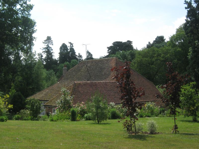
Winser Farmhouse
TQ 8530 20/338 16.8.62.
II
2.
Probably C17. Two storeys. Ground floor red brick, above tile hung. Tiled
roof. Four casement windows with small square leaded panes. Doorcase with
flat hood on brackets and door of 6 fielded panels. At the south end is an
C18 addition of one window bay with a higher elevation, and wholly tile hung.
Listing NGR: TQ8559530364
External links are from the relevant listing authority and, where applicable, Wikidata. Wikidata IDs may be related buildings as well as this specific building. If you want to add or update a link, you will need to do so by editing the Wikidata entry.


Other nearby listed buildings
