Approximate Location Map
Large Map »
Latitude: 51.2112 / 51°12'40"N
Longitude: 0.795 / 0°47'41"E
OS Eastings: 595314
OS Northings: 149488
OS Grid: TQ953494
Mapcode National: GBR RVT.XG5
Mapcode Global: VHKK6.QTMC
Plus Code: 9F326Q6V+FX
Entry Name: 61, High Street
Listing Date: 10 October 1980
Grade: II
Source: Historic England
Source ID: 1185774
English Heritage Legacy ID: 180738
ID on this website: 101185774
Location: Charing, Ashford, Kent, TN27
County: Kent
District: Ashford
Civil Parish: Charing
Built-Up Area: Charing
Traditional County: Kent
Lieutenancy Area (Ceremonial County): Kent
Tagged with: Building
1.
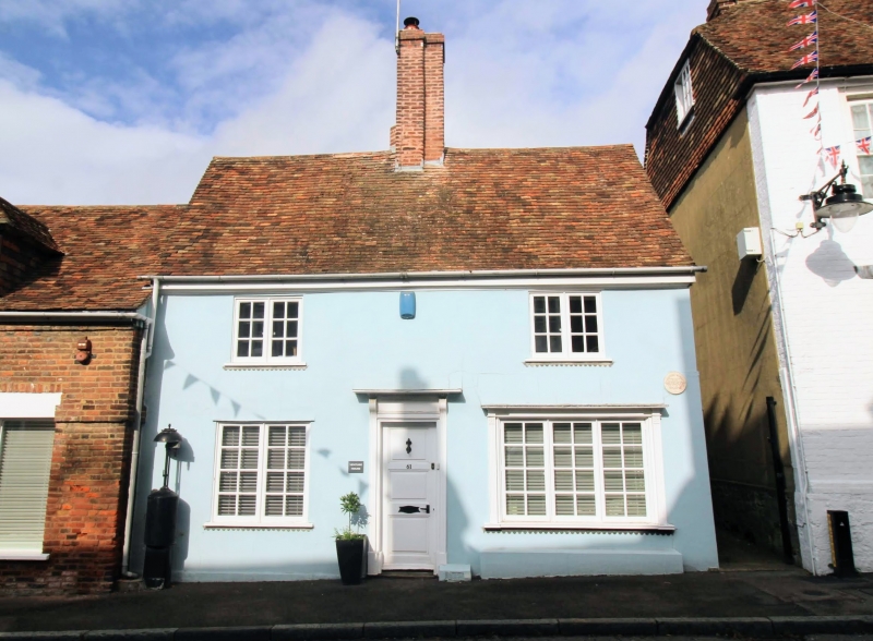
5272 CHARING HIGH STREET
(west side)
No 61
TQ 9549 22/31
II GV
2.
C17 or earlier timber-framed building, with the timbering and roughcast infilling
visible in the north wall but refronted with modern stucco. Tiled roof. Two
casement windows. Modern shop-front.
Listing NGR: TQ9531149484
External links are from the relevant listing authority and, where applicable, Wikidata. Wikidata IDs may be related buildings as well as this specific building. If you want to add or update a link, you will need to do so by editing the Wikidata entry.


Other nearby listed buildings
