Approximate Location Map
Large Map »
Latitude: 51.1849 / 51°11'5"N
Longitude: 0.7071 / 0°42'25"E
OS Eastings: 589289
OS Northings: 146330
OS Grid: TQ892463
Mapcode National: GBR QTR.RKX
Mapcode Global: VHKKC.6HP1
Plus Code: 9F325PM4+WV
Entry Name: Frid Farmhouse
Listing Date: 14 February 1967
Last Amended: 10 October 1980
Grade: II
Source: Historic England
Source ID: 1071513
English Heritage Legacy ID: 180825
ID on this website: 101071513
Location: Egerton Forstal, Ashford, Kent, TN27
County: Kent
District: Ashford
Civil Parish: Egerton
Traditional County: Kent
Lieutenancy Area (Ceremonial County): Kent
Tagged with: Farmhouse
1.
5272 EGERTON FORGE LANE
Egerton Forstal
Frid Farmhouse
(formerly listed as
Fridd Farmhouse)
TQ 84 NE 9/46 14.2.67
II
2.
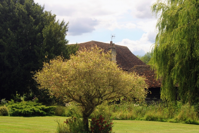
C15 L-shaped 2 storeyed restored timber-framed and close-studded building
with roughcast infilling, the first floor oversailing on the protruding ends
of the floor joists and brackets. Tiled roof, hipped at the west end. Three
sashes, simple doorcase.
Listing NGR: TQ8928946330
External links are from the relevant listing authority and, where applicable, Wikidata. Wikidata IDs may be related buildings as well as this specific building. If you want to add or update a link, you will need to do so by editing the Wikidata entry.


Other nearby listed buildings
