Approximate Location Map
Large Map »
Latitude: 51.195 / 51°11'42"N
Longitude: 0.73 / 0°43'47"E
OS Eastings: 590843
OS Northings: 147523
OS Grid: TQ908475
Mapcode National: GBR QTS.5C0
Mapcode Global: VHKKC.L7S6
Plus Code: 9F325PWH+2X
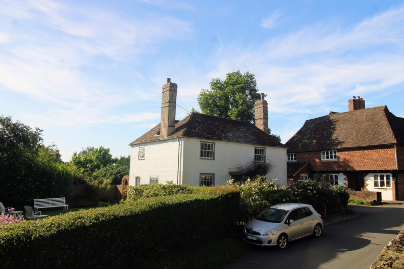
Entry Name: Mill House
Listing Date: 10 October 1980
Grade: II
Source: Historic England
Source ID: 1071532
English Heritage Legacy ID: 180870
ID on this website: 101071532
Location: Egerton, Ashford, Kent, TN27
County: Kent
District: Ashford
Civil Parish: Egerton
Traditional County: Kent
Lieutenancy Area (Ceremonial County): Kent
Tagged with: House
1.
5272 EGERTON THE STREET
(south-east side)
Mill House
TQ 94 NW 10/2
II GV
2.
C18. Two parallel ranges. Two storeys painted brick. Hipped tiled roof
with modillion eaves cornice. Two sashes with glazing bars intact. Doorcase
with flat hood over.
Listing NGR: TQ9084447520
External links are from the relevant listing authority and, where applicable, Wikidata. Wikidata IDs may be related buildings as well as this specific building. If you want to add or update a link, you will need to do so by editing the Wikidata entry.


Other nearby listed buildings
