Approximate Location Map
Large Map »
Latitude: 51.1949 / 51°11'41"N
Longitude: 0.7293 / 0°43'45"E
OS Eastings: 590799
OS Northings: 147502
OS Grid: TQ907475
Mapcode National: GBR QTS.55L
Mapcode Global: VHKKC.L7FB
Plus Code: 9F325PVH+XP
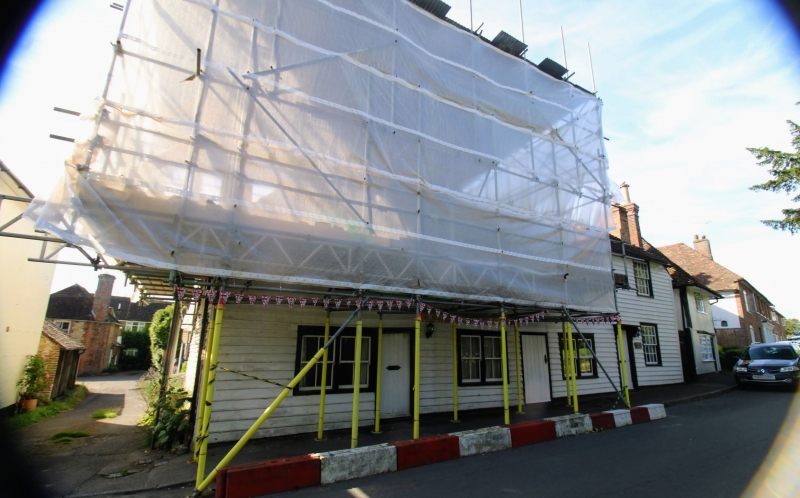
Entry Name: The Bakery
Listing Date: 10 October 1980
Grade: II
Source: Historic England
Source ID: 1319972
English Heritage Legacy ID: 180873
ID on this website: 101319972
Location: Egerton, Ashford, Kent, TN27
County: Kent
District: Ashford
Civil Parish: Egerton
Traditional County: Kent
Lieutenancy Area (Ceremonial County): Kent
Tagged with: Architectural structure
1.
5272 EGERTON THE STREET
(south-east side)
The Bakery
TQ 94 NW 10/4
II GV
2.
C17 or earlier timber-framed building of 2 storeys now faced with weatherboarding.
Hipped tiled roof. Four windows. Mainly casements, except the south-westernmost
window bay, which has possibly been added it is of higher elevation and has
sash windows with glazing bars intact. Simple doorcases, the right hand doorcase
with flat wooden hood and brackets.
Listing NGR: TQ9071047466
External links are from the relevant listing authority and, where applicable, Wikidata. Wikidata IDs may be related buildings as well as this specific building. If you want to add or update a link, you will need to do so by editing the Wikidata entry.


Other nearby listed buildings
