Approximate Location Map
Large Map »
Latitude: 51.1964 / 51°11'47"N
Longitude: 0.7315 / 0°43'53"E
OS Eastings: 590945
OS Northings: 147677
OS Grid: TQ909476
Mapcode National: GBR QTL.ZQS
Mapcode Global: VHKKC.M6L5
Plus Code: 9F325PWJ+HJ
Entry Name: Weatherboarded Barn 30 Yards to South West of Court Lodge
Listing Date: 10 October 1980
Grade: II
Source: Historic England
Source ID: 1362645
English Heritage Legacy ID: 180886
ID on this website: 101362645
Location: Egerton, Ashford, Kent, TN27
County: Kent
District: Ashford
Civil Parish: Egerton
Traditional County: Kent
Lieutenancy Area (Ceremonial County): Kent
Tagged with: Barn
1.
5272 EGERTON THE STREET
(south-west side)
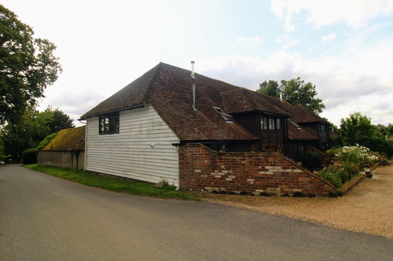
Weatherboarded barn
30 yds to south-west
of Court Lodge
TQ 94 NW 10/14D
II
2.
C18 or earlier weatherboarded barn with hipped tiled roof.
Listing NGR: TQ9097047708
External links are from the relevant listing authority and, where applicable, Wikidata. Wikidata IDs may be related buildings as well as this specific building. If you want to add or update a link, you will need to do so by editing the Wikidata entry.


Other nearby listed buildings
