Approximate Location Map
Large Map »
Latitude: 51.1103 / 51°6'36"N
Longitude: 0.8777 / 0°52'39"E
OS Eastings: 601530
OS Northings: 138489
OS Grid: TR015384
Mapcode National: GBR SYM.6QN
Mapcode Global: VHKKV.5CB7
Plus Code: 9F324V6H+43
Entry Name: Finn Farmhouse
Listing Date: 14 February 1967
Grade: II
Source: Historic England
Source ID: 1071467
English Heritage Legacy ID: 181016
ID on this website: 101071467
Location: Ashford, Kent, TN23
County: Kent
District: Ashford
Civil Parish: Kingsnorth
Built-Up Area: Kingsnorth (Ashford)
Traditional County: Kent
Lieutenancy Area (Ceremonial County): Kent
Tagged with: Farmhouse
1.
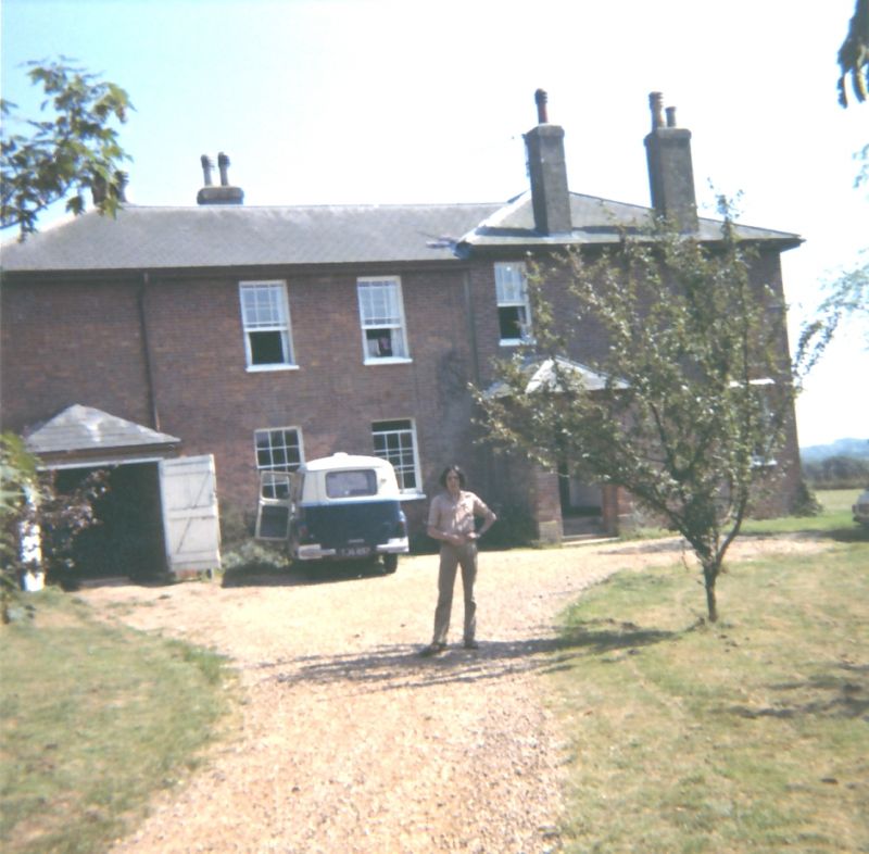
5272 KINGSNORTH FINN FARM ROAD
Finn Farmhouse
TR 03 NW 20/12 14.2.67.
II
2.
C17 or earlier building, refaced with red brick on the ground floor and tile-hung
above. Steeply-pitched hipped tiled roof. Two storeys and attic. Three gabled
dormers. Three casement windows with small square leaded panes.
Listing NGR: TR0153038489
External links are from the relevant listing authority and, where applicable, Wikidata. Wikidata IDs may be related buildings as well as this specific building. If you want to add or update a link, you will need to do so by editing the Wikidata entry.


Other nearby listed buildings
