Approximate Location Map
Large Map »
Latitude: 51.1705 / 51°10'13"N
Longitude: 0.7267 / 0°43'36"E
OS Eastings: 590717
OS Northings: 144781
OS Grid: TQ907447
Mapcode National: GBR QTZ.JKC
Mapcode Global: VHKKC.KV13
Plus Code: 9F325PCG+5M
Entry Name: Giles Farmhouse
Listing Date: 10 October 1980
Grade: II
Source: Historic England
Source ID: 1362684
English Heritage Legacy ID: 181105
ID on this website: 101362684
Location: The Pinnock, Ashford, Kent, TN27
County: Kent
District: Ashford
Civil Parish: Pluckley
Traditional County: Kent
Lieutenancy Area (Ceremonial County): Kent
Tagged with: Farmhouse
1.
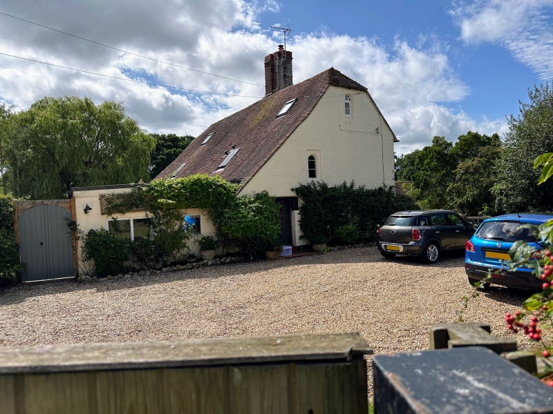
5272 PLUCKLEY THE PINNOCK
Giles Farmhouse
TQ 94 SW 14/21
II
2.
C18 or earlier. Two storeys painted brick. Half-hipped tiled roof with pentice
behind and Cl7 chimney stack. Three Dering windows and one window space.
Two buttresses to the south-east wall.
Listing NGR: TQ9071744781
External links are from the relevant listing authority and, where applicable, Wikidata. Wikidata IDs may be related buildings as well as this specific building. If you want to add or update a link, you will need to do so by editing the Wikidata entry.


Other nearby listed buildings
