Approximate Location Map
Large Map »
Latitude: 51.1529 / 51°9'10"N
Longitude: 0.6675 / 0°40'3"E
OS Eastings: 586649
OS Northings: 142673
OS Grid: TQ866426
Mapcode National: GBR QV3.MKY
Mapcode Global: VHJN2.J971
Plus Code: 9F325M39+42
Entry Name: Oasthouse to North of Hadman's Place Farmhouse
Listing Date: 10 October 1980
Grade: II
Source: Historic England
Source ID: 1332953
English Heritage Legacy ID: 181164
ID on this website: 101332953
Location: Smarden Bell, Ashford, Kent, TN27
County: Kent
District: Ashford
Civil Parish: Smarden
Traditional County: Kent
Lieutenancy Area (Ceremonial County): Kent
Tagged with: Drying house
This list entry was subject to a Minor Amendment on 12/06/2012
TQ 8642 23/57B
5272
SMARDEN
BELL LANE
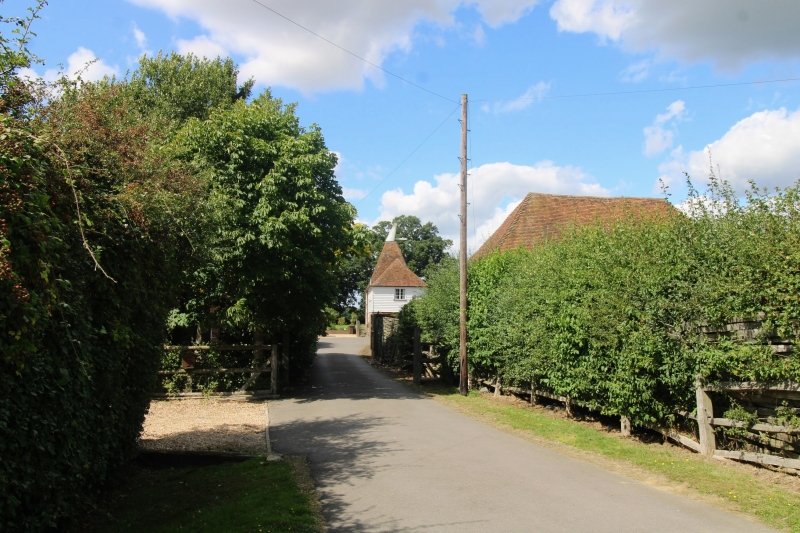
Oasthouse to north of Hadman's Place Farmhouse
(Formerly listed as Oasthouse to south of Hadman's Place Farmhouse)
II
Cl9. One square brick oast with pyramidal tiled roof. Two storey
outbuilding attached, with hipped tiled roof.
Listing NGR: TQ8664942673
External links are from the relevant listing authority and, where applicable, Wikidata. Wikidata IDs may be related buildings as well as this specific building. If you want to add or update a link, you will need to do so by editing the Wikidata entry.


Other nearby listed buildings
