Approximate Location Map
Large Map »
Latitude: 51.1405 / 51°8'25"N
Longitude: 0.671 / 0°40'15"E
OS Eastings: 586944
OS Northings: 141309
OS Grid: TQ869413
Mapcode National: GBR QV9.GGG
Mapcode Global: VHJN2.LL3J
Plus Code: 9F324MRC+6C
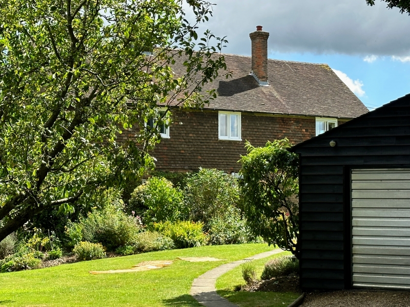
Entry Name: Limekiln Farmhouse
Listing Date: 10 October 1980
Grade: II
Source: Historic England
Source ID: 1325979
English Heritage Legacy ID: 181202
ID on this website: 101325979
Location: Monk's Hill, Ashford, Kent, TN27
County: Kent
District: Ashford
Civil Parish: Smarden
Traditional County: Kent
Lieutenancy Area (Ceremonial County): Kent
Tagged with: Farmhouse
1.
5272 SMARDEN THE CUT
Limekiln Farmhouse
TQ 8641 30/70
II
2.
Probably a C17 or earlier timber-framed building now refaced in pebbledash.
Two storeys. Hipped tiled roof with pentice to south. Two casement windows.
Listing NGR: TQ8694441309
External links are from the relevant listing authority and, where applicable, Wikidata. Wikidata IDs may be related buildings as well as this specific building. If you want to add or update a link, you will need to do so by editing the Wikidata entry.


Other nearby listed buildings
