Approximate Location Map
Large Map »
Latitude: 53.9676 / 53°58'3"N
Longitude: -2.4403 / 2°26'25"W
OS Eastings: 371209
OS Northings: 452484
OS Grid: SD712524
Mapcode National: GBR CQDK.GG
Mapcode Global: WH95X.HJ4P
Plus Code: 9C5VXH95+3V
Entry Name: Old Bridge
Listing Date: 16 November 1983
Grade: II
Source: Historic England
Source ID: 1163902
English Heritage Legacy ID: 183171
ID on this website: 101163902
Location: Slaidburn, Ribble Valley, Lancashire, BB7
County: Lancashire
District: Ribble Valley
Civil Parish: Slaidburn
Traditional County: Yorkshire
Lieutenancy Area (Ceremonial County): Lancashire
Church of England Parish: Slaidburn St Andrew
Church of England Diocese: Leeds
Tagged with: Bridge
SD 7052-7152 SLAIDBURN
17/120 Old Bridge
-
- II
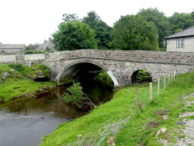
Bridge, c.1800. Limestone rubble with sandstone dressings. 2 segmental
arches, the north one narrow, with a triangular cutwater on the west side.
Solid parapet with coping and string course.
Listing NGR: SD7120952484
External links are from the relevant listing authority and, where applicable, Wikidata. Wikidata IDs may be related buildings as well as this specific building. If you want to add or update a link, you will need to do so by editing the Wikidata entry.


Other nearby listed buildings
