Approximate Location Map
Large Map »
Latitude: 53.914 / 53°54'50"N
Longitude: -2.1994 / 2°11'57"W
OS Eastings: 386998
OS Northings: 446442
OS Grid: SD869464
Mapcode National: GBR FR25.MP
Mapcode Global: WHB7C.5WXC
Plus Code: 9C5VWR72+H6
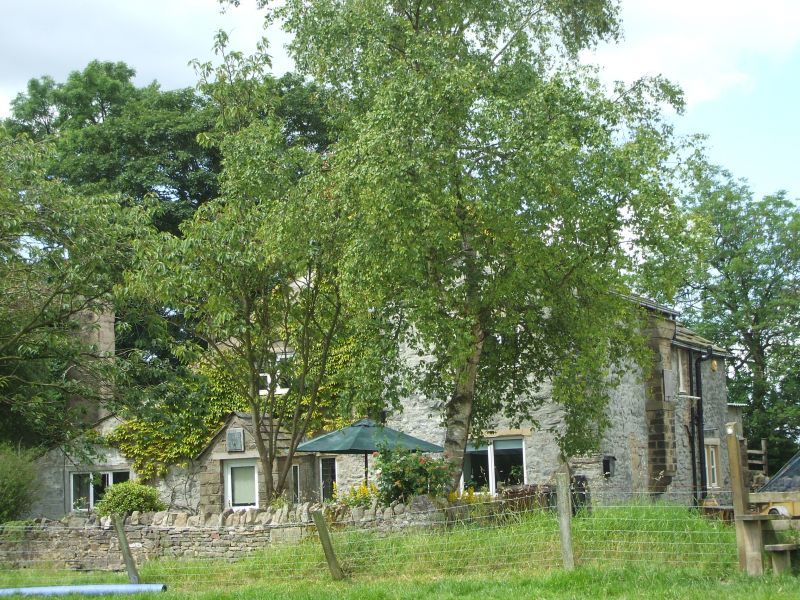
Entry Name: Lower Calf Hall Farmhouse
Listing Date: 29 January 1988
Grade: II
Source: Historic England
Source ID: 1361697
English Heritage Legacy ID: 186134
ID on this website: 101361697
Location: Wapping, Pendle, Lancashire, BB18
County: Lancashire
District: Pendle
Civil Parish: Bracewell and Brogden
Traditional County: Yorkshire
Lieutenancy Area (Ceremonial County): Lancashire
Tagged with: Farmhouse
SD 84 NE BARNOLDSWICK CALF HALL LANE
3/10 Lower Calf Hall Farmhouse
-
- II
Farmhouse. C17 altered C18. Painted rubble. Stone slate roof. 2 storeys. Lean-to porch a later addition. 2 C17 chamfered window openings in ground floor with moulded and returned dripstones. All mullions removed. First floor: 4-light C18 windows. Right hand has had 2 mullions removed. Stepped C17 chimneybreast in west end.
Listing NGR: SD8699846442
External links are from the relevant listing authority and, where applicable, Wikidata. Wikidata IDs may be related buildings as well as this specific building. If you want to add or update a link, you will need to do so by editing the Wikidata entry.


Other nearby listed buildings
