Approximate Location Map
Large Map »
Latitude: 52.6705 / 52°40'13"N
Longitude: -0.7254 / 0°43'31"W
OS Eastings: 486287
OS Northings: 308852
OS Grid: SK862088
Mapcode National: GBR CRL.HG4
Mapcode Global: WHFKN.T4RJ
Plus Code: 9C4XM7CF+6R
Entry Name: 25, Burley Road
Listing Date: 24 November 1971
Grade: II
Source: Historic England
Source ID: 1073302
English Heritage Legacy ID: 186451
ID on this website: 101073302
Location: Oakham, Rutland, LE15
County: Rutland
Civil Parish: Oakham
Built-Up Area: Oakham
Traditional County: Rutland
Lieutenancy Area (Ceremonial County): Rutland
Church of England Parish: Oakham All Saints
Church of England Diocese: Peterborough
Tagged with: Building
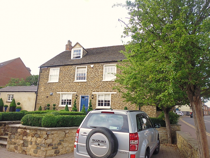
BURLEY ROAD
1.
1469
(East Side)
No 25
SK 8608 6/15
II
2.
Mid C18 house. Set at right angles to road. Coursed rubble. Stone
slate roof. 2-storeys. 3 windows. Straight stone arches and stucco
keystones. Gable end to road has 1 window, wood lintel, sliding sash.
Plain door. South elevation, to garden, has central door in moulded wood
case with panelled pilaster strips and moulded hood on brackets.
Listing NGR: SK8628708852
External links are from the relevant listing authority and, where applicable, Wikidata. Wikidata IDs may be related buildings as well as this specific building. If you want to add or update a link, you will need to do so by editing the Wikidata entry.


Other nearby listed buildings
