Approximate Location Map
Large Map »
Latitude: 52.6117 / 52°36'42"N
Longitude: -0.714 / 0°42'50"W
OS Eastings: 487170
OS Northings: 302324
OS Grid: SK871023
Mapcode National: GBR CSD.692
Mapcode Global: WHGM0.0M84
Plus Code: 9C4XJ76P+M9
Entry Name: 6 and 8, Main Street
Listing Date: 5 August 1986
Grade: II
Source: Historic England
Source ID: 1073708
English Heritage Legacy ID: 187488
ID on this website: 101073708
Location: Preston, Rutland, LE15
County: Rutland
Civil Parish: Preston
Built-Up Area: Uppingham
Traditional County: Rutland
Lieutenancy Area (Ceremonial County): Rutland
Church of England Parish: Preston St Peter and St Paul
Church of England Diocese: Peterborough
Tagged with: Building
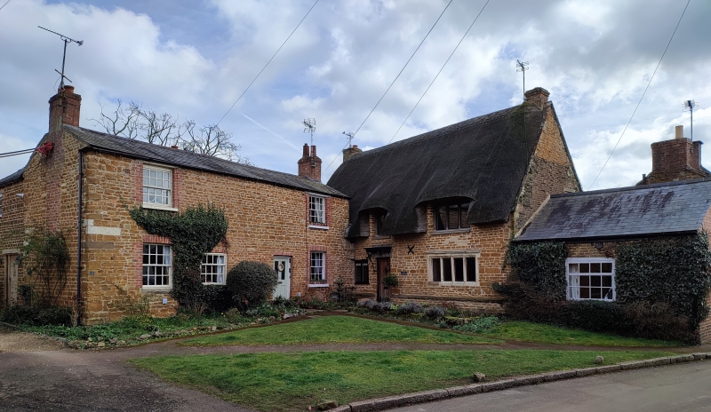
PRESTON MAIN STREET, (East Side)
SK 8602 and SK 8702
4/9
Nos 6 and 8
GV II
Cottage, early C18. Rubble, ashlar, blue slate roof. 2 storeys. 2 sashes on extreme
left and right first floor. Ground floor has 3 sashes. Entry to right. 2 gable
end stacks. This item included for group value only.
Listing NGR: SK8717002324
External links are from the relevant listing authority and, where applicable, Wikidata. Wikidata IDs may be related buildings as well as this specific building. If you want to add or update a link, you will need to do so by editing the Wikidata entry.


Other nearby listed buildings
