Approximate Location Map
Large Map »
Latitude: 52.6515 / 52°39'5"N
Longitude: -0.4798 / 0°28'47"W
OS Eastings: 502940
OS Northings: 307055
OS Grid: TF029070
Mapcode National: GBR FVR.RJB
Mapcode Global: WHGLX.LMR5
Plus Code: 9C4XMG2C+H3
Entry Name: 3, St Mary's Street
Listing Date: 26 April 1974
Grade: II
Source: Historic England
Source ID: 1360028
English Heritage Legacy ID: 193738
ID on this website: 101360028
Location: Stamford, South Kesteven, Lincolnshire, PE9
County: Lincolnshire
District: South Kesteven
Civil Parish: Stamford
Built-Up Area: Stamford
Traditional County: Lincolnshire
Lieutenancy Area (Ceremonial County): Lincolnshire
Church of England Parish: Stamford St Mary
Church of England Diocese: Lincoln
Tagged with: Building
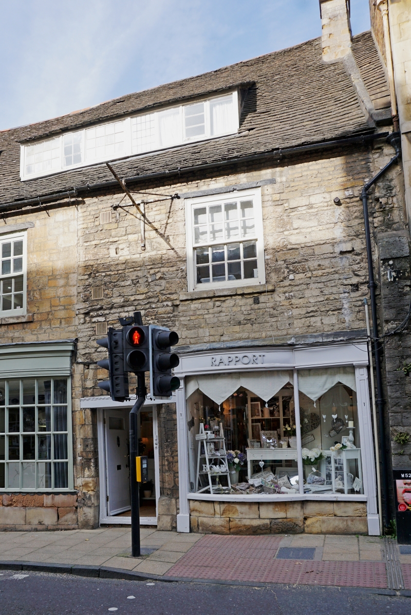
1.
1671 ST MARY'S STREET
(North Side)
No 3
TF 0207 1/503
II GV
2.
Late Cl8 or early C19. 3 storeys in white-painted brick. Welsh slate roof. One
window, double-hung sash with glazing bars. Modern ground floor shop.
Nos 2 to 26 (consec) form a group.
Also forms a group with Nos 1 to 3 (consec) ST John's Street.
Listing NGR: TF0294007055
External links are from the relevant listing authority and, where applicable, Wikidata. Wikidata IDs may be related buildings as well as this specific building. If you want to add or update a link, you will need to do so by editing the Wikidata entry.


Other nearby listed buildings
