Approximate Location Map
Large Map »
Latitude: 53.3999 / 53°23'59"N
Longitude: -0.7766 / 0°46'35"W
OS Eastings: 481437
OS Northings: 389929
OS Grid: SK814899
Mapcode National: GBR RY03.NY
Mapcode Global: WHFFZ.1SGX
Plus Code: 9C5X96XF+X8
Entry Name: 39, Lord Street
Listing Date: 12 May 1977
Grade: II
Source: Historic England
Source ID: 1168107
English Heritage Legacy ID: 196305
ID on this website: 101168107
Location: Gainsborough, West Lindsey, Lincolnshire, DN21
County: Lincolnshire
District: West Lindsey
Civil Parish: Gainsborough
Built-Up Area: Gainsborough
Traditional County: Lincolnshire
Lieutenancy Area (Ceremonial County): Lincolnshire
Church of England Parish: Gainsborough All Saints
Church of England Diocese: Lincoln
Tagged with: Building
LORD STREET
1.
5315
(North Side)
No 39
SK 8189 1/86
II GV
2.
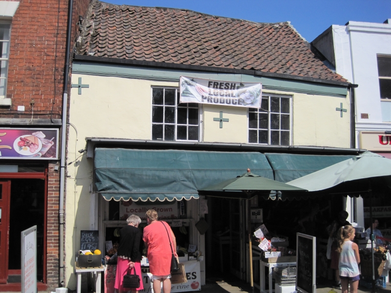
C18. 2 storeys. Rendered, with steep pantile roof and wood eaves cornice.
2 windows of sliding sashes with glazing bars. C19 shop front with plain pilasters
and moulded cornice.
Nos 27 to 39 (odd) form a group, Nos 27 and 29 being of local interest.
Listing NGR: SK8143789929
External links are from the relevant listing authority and, where applicable, Wikidata. Wikidata IDs may be related buildings as well as this specific building. If you want to add or update a link, you will need to do so by editing the Wikidata entry.


Other nearby listed buildings
