Approximate Location Map
Large Map »
Latitude: 51.5138 / 51°30'49"N
Longitude: -0.0763 / 0°4'34"W
OS Eastings: 533585
OS Northings: 181189
OS Grid: TQ335811
Mapcode National: GBR WC.0H
Mapcode Global: VHGR0.M6JT
Plus Code: 9C3XGW7F+GF
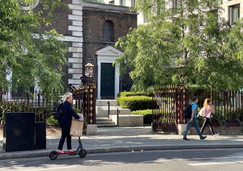
Entry Name: Iron gateway to yard of Church of St Botolph
Listing Date: 5 June 1972
Grade: II
Source: Historic England
Source ID: 1064734
English Heritage Legacy ID: 199279
ID on this website: 101064734
Location: Whitechapel, City of London, London, EC3N
County: London
District: City and County of the City of London
Electoral Ward/Division: Portsoken
Parish: Non Civil Parish
Built-Up Area: City of London
Traditional County: Middlesex
Lieutenancy Area (Ceremonial County): City of London
Church of England Parish: St Botolph without Aldgate
Church of England Diocese: London
Tagged with: Building
TQ 3381 SE
12/382A
ALDGATE HIGH STREET EC3 (north side)
Iron gateway to yard of Church of St Botolph
5.6.72.
II
Probably early C19. Pair of wrought iron gates with open work piers on Portland stone bases.
Listing NGR: TQ3358681189
External links are from the relevant listing authority and, where applicable, Wikidata. Wikidata IDs may be related buildings as well as this specific building. If you want to add or update a link, you will need to do so by editing the Wikidata entry.


Other nearby listed buildings
