Approximate Location Map
Large Map »
Latitude: 51.5096 / 51°30'34"N
Longitude: -0.0839 / 0°5'1"W
OS Eastings: 533070
OS Northings: 180701
OS Grid: TQ330807
Mapcode National: GBR TF.91
Mapcode Global: VHGR0.HBJ3
Plus Code: 9C3XGW58+RF
Entry Name: 16, St Mary at Hill EC3
Listing Date: 5 June 1972
Grade: II
Source: Historic England
Source ID: 1079154
English Heritage Legacy ID: 199730
ID on this website: 101079154
Location: City of London, London, EC3R
County: London
District: City and County of the City of London
Electoral Ward/Division: Billingsgate
Parish: Non Civil Parish
Built-Up Area: City of London
Traditional County: Middlesex
Lieutenancy Area (Ceremonial County): City of London
Church of England Parish: St Mary at Hill Eastcheap
Church of England Diocese: London
Tagged with: Building
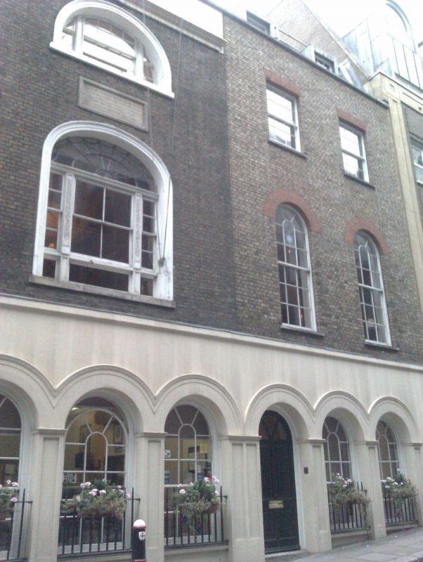
ST MARY AT HILL EC3
1.
5002
(West Side)
No 16
TQ 3380 NW 17/466 5.6.72.
II GV
2.
Probably early C19. 3 storeys plus retiled mansard. 2 windows. Yellow brick
with parapet. Simple C19 shop front of wood.
Listing NGR: TQ3306980702
External links are from the relevant listing authority and, where applicable, Wikidata. Wikidata IDs may be related buildings as well as this specific building. If you want to add or update a link, you will need to do so by editing the Wikidata entry.


Other nearby listed buildings
