Approximate Location Map
Large Map »
Latitude: 51.4758 / 51°28'32"N
Longitude: -0.0053 / 0°0'18"W
OS Eastings: 538627
OS Northings: 177094
OS Grid: TQ386770
Mapcode National: GBR L1.PBS
Mapcode Global: VHGR7.V5LG
Plus Code: 9C3XFXGV+8V
Entry Name: North West Garden Wall of the Manor House
Listing Date: 8 June 1973
Grade: II
Source: Historic England
Source ID: 1219728
English Heritage Legacy ID: 200319
ID on this website: 101219728
Location: Greenwich, London, SE10
County: London
District: Greenwich
Electoral Ward/Division: Greenwich West
Parish: Non Civil Parish
Built-Up Area: Greenwich
Traditional County: Kent
Lieutenancy Area (Ceremonial County): Greater London
Church of England Parish: Greenwich St Alfege
Church of England Diocese: Southwark
Tagged with: Building
1.
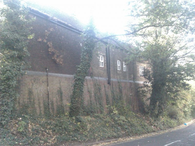
4412 CROOMS HILL SE10
(West Side)
North-west garden wall of
the Manor House
TQ 3877 26/G37B
II
2.
Early C18 red brick wall with brick buttresses. (The other walls have been rebuilt
in stock brick).
Listing NGR: TQ3862777093
External links are from the relevant listing authority and, where applicable, Wikidata. Wikidata IDs may be related buildings as well as this specific building. If you want to add or update a link, you will need to do so by editing the Wikidata entry.


Other nearby listed buildings
