Approximate Location Map
Large Map »
Latitude: 51.6188 / 51°37'7"N
Longitude: -0.3131 / 0°18'47"W
OS Eastings: 516881
OS Northings: 192453
OS Grid: TQ168924
Mapcode National: GBR 6V.PQC
Mapcode Global: VHGQ9.JKBX
Plus Code: 9C3XJM9P+GP
Entry Name: 33, Stanmore Hill
Listing Date: 13 September 1978
Grade: II
Source: Historic England
Source ID: 1079645
English Heritage Legacy ID: 202164
ID on this website: 101079645
Location: Stanmore, Harrow, London, HA7
County: London
District: Harrow
Electoral Ward/Division: Stanmore Park
Parish: Non Civil Parish
Built-Up Area: Harrow
Traditional County: Middlesex
Lieutenancy Area (Ceremonial County): Greater London
Church of England Parish: St John the Evangelist Great Stanmore
Church of England Diocese: London
Tagged with: Building
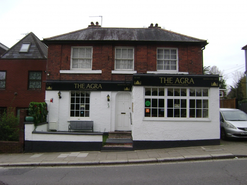
STANMORE HILL
1.
5016
(west side)
Stanmore
No 33
TQ 1692 SE 8/1 13.9.78
II
2.
Early C19. Two-storeys. Three bays emphasised by a block pilaster treatment.
Red brick. Four-pane sashes. Tile roof C20. Single extension projects on right
side not included.
Listing NGR: TQ1688192453
External links are from the relevant listing authority and, where applicable, Wikidata. Wikidata IDs may be related buildings as well as this specific building. If you want to add or update a link, you will need to do so by editing the Wikidata entry.


Other nearby listed buildings
