Approximate Location Map
Large Map »
Latitude: 51.488 / 51°29'16"N
Longitude: -0.2499 / 0°14'59"W
OS Eastings: 521607
OS Northings: 178011
OS Grid: TQ216780
Mapcode National: GBR 9M.TZS
Mapcode Global: VHGQX.MV8P
Plus Code: 9C3XFQQ2+52
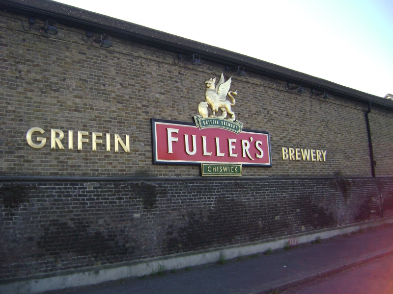
Entry Name: Wall of Fullers Brewery (Mawson Arms) Fronting Great West Road
Listing Date: 21 May 1973
Grade: II
Source: Historic England
Source ID: 1294370
English Heritage Legacy ID: 202485
ID on this website: 101294370
Location: Hounslow, London, W4
County: London
District: Hounslow
Electoral Ward/Division: Chiswick Homefields
Parish: Non Civil Parish
Built-Up Area: Hounslow
Traditional County: Middlesex
Lieutenancy Area (Ceremonial County): Greater London
Church of England Parish: St Nicholas Chiswick
Church of England Diocese: London
Tagged with: Wall
1.
4419
TQ 2178 SE
2/152B
CHISWICK LANE W4
(Mawson Row)
Wall of Fuller's Brewery (Mawson Arms) fronting Great West Road
II
2.
Red brick garden wall and archway.
Listing NGR: TQ2160778011
External links are from the relevant listing authority and, where applicable, Wikidata. Wikidata IDs may be related buildings as well as this specific building. If you want to add or update a link, you will need to do so by editing the Wikidata entry.


Other nearby listed buildings
