Approximate Location Map
Large Map »
Latitude: 51.4608 / 51°27'38"N
Longitude: -0.0962 / 0°5'46"W
OS Eastings: 532353
OS Northings: 175249
OS Grid: TQ323752
Mapcode National: GBR QZ.JJ
Mapcode Global: VHGR6.8KZ1
Plus Code: 9C3XFW63+8G
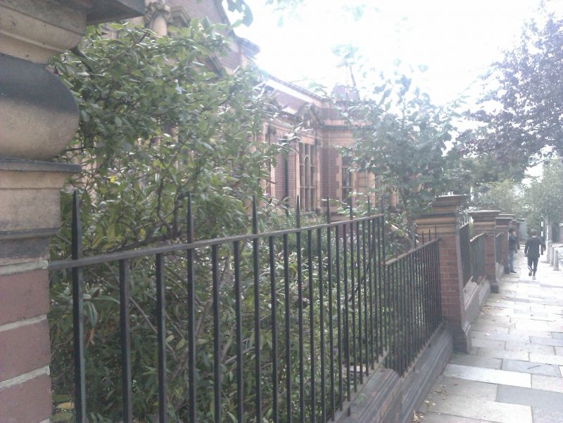
Entry Name: Forecourt Walls and Piers to Carnegie Library
Listing Date: 27 March 1981
Grade: II
Source: Historic England
Source ID: 1358273
English Heritage Legacy ID: 204302
ID on this website: 101358273
Location: Lambeth, London, SE24
County: Lambeth
Electoral Ward/Division: Herne Hill
Built-Up Area: Lambeth
Traditional County: Surrey
Lieutenancy Area (Ceremonial County): Greater London
Church of England Parish: Herne Hill
Church of England Diocese: Southwark
External links are from the relevant listing authority and, where applicable, Wikidata. Wikidata IDs may be related buildings as well as this specific building. If you want to add or update a link, you will need to do so by editing the Wikidata entry.


Other nearby listed buildings
