Approximate Location Map
Large Map »
Latitude: 51.5049 / 51°30'17"N
Longitude: -0.1073 / 0°6'26"W
OS Eastings: 531459
OS Northings: 180138
OS Grid: TQ314801
Mapcode National: GBR NG.2Q
Mapcode Global: VHGR0.3F4P
Plus Code: 9C3XGV3V+X3
Entry Name: Front Railings to St Andrew's House
Listing Date: 8 February 1979
Grade: II
Source: Historic England
Source ID: 1357919
English Heritage Legacy ID: 204607
ID on this website: 101357919
Location: North Southwark, Lambeth, London, SE1
County: London
District: Lambeth
Electoral Ward/Division: Bishop's
Parish: Non Civil Parish
Built-Up Area: Lambeth
Traditional County: Surrey
Lieutenancy Area (Ceremonial County): Greater London
Church of England Parish: Waterloo St John with St Andrew
Church of England Diocese: Southwark
Tagged with: Railing
ROUPELL STREET SE1
1. (north side)
5023
Front railings to
St Andrew's House
TQ 3180 1/823 8.2.79
II
2.
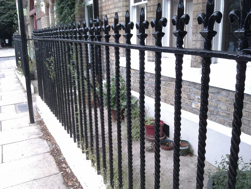
C19. Twist cast iron railings with fleur-de-lys standards.
Listing NGR: TQ3145980138
External links are from the relevant listing authority and, where applicable, Wikidata. Wikidata IDs may be related buildings as well as this specific building. If you want to add or update a link, you will need to do so by editing the Wikidata entry.


Other nearby listed buildings
