Approximate Location Map
Large Map »
Latitude: 51.4609 / 51°27'39"N
Longitude: -0.3053 / 0°18'19"W
OS Eastings: 517831
OS Northings: 174911
OS Grid: TQ178749
Mapcode National: GBR 75.RQK
Mapcode Global: VHGR2.NJGX
Plus Code: 9C3XFM6V+9V
Entry Name: 16, Brewers Lane
Listing Date: 25 June 1983
Grade: II
Source: Historic England
Source ID: 1080866
English Heritage Legacy ID: 205225
ID on this website: 101080866
Location: Richmond upon Thames, London, TW9
County: London
District: Richmond upon Thames
Electoral Ward/Division: South Richmond
Parish: Non Civil Parish
Built-Up Area: Richmond upon Thames
Traditional County: Surrey
Lieutenancy Area (Ceremonial County): Greater London
Church of England Parish: Richmond
Church of England Diocese: Southwark
Tagged with: Building
1.
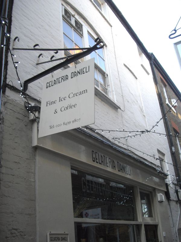
5028 BREWERS LANE
(west side)
No 16
TQ 1774 NE 20A/39
II GV
2.
C18. Three storeys. Two windows wide. Painted brick with eaves gutter. Modernised
Victorian shop window. Upper windows flush framed.
Listing NGR: TQ1783074909
External links are from the relevant listing authority and, where applicable, Wikidata. Wikidata IDs may be related buildings as well as this specific building. If you want to add or update a link, you will need to do so by editing the Wikidata entry.


Other nearby listed buildings
