Approximate Location Map
Large Map »
Latitude: 51.5322 / 51°31'55"N
Longitude: -0.0592 / 0°3'32"W
OS Eastings: 534718
OS Northings: 183261
OS Grid: TQ347832
Mapcode National: GBR Z4.VX
Mapcode Global: VHGQT.XRL9
Plus Code: 9C3XGWJR+V8
Entry Name: Railed Wall and Gate
Listing Date: 27 September 1973
Grade: II
Source: Historic England
Source ID: 1240995
English Heritage Legacy ID: 206031
ID on this website: 101240995
Location: Bethnal Green, Tower Hamlets, London, E2
County: London
District: Tower Hamlets
Electoral Ward/Division: St Peter's
Parish: Non Civil Parish
Built-Up Area: Tower Hamlets
Traditional County: Middlesex
Lieutenancy Area (Ceremonial County): Greater London
Church of England Parish: St Peter Bethnal Green
Church of England Diocese: London
Tagged with: Wall
HACKNEY ROAD E2
1.
4431
(South Side)
Railed Wall and Gate
at No 456
TQ 3483 4/13
II
2.
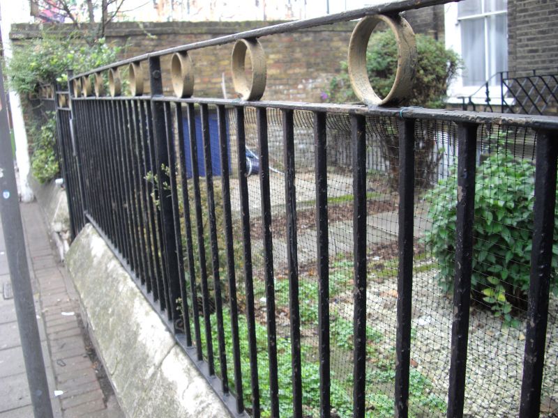
C19. Railed wall and gate to Hackney Road.
Listing NGR: TQ3471883261
External links are from the relevant listing authority and, where applicable, Wikidata. Wikidata IDs may be related buildings as well as this specific building. If you want to add or update a link, you will need to do so by editing the Wikidata entry.


Other nearby listed buildings
