Approximate Location Map
Large Map »
Latitude: 51.3652 / 51°21'54"N
Longitude: -0.1632 / 0°9'47"W
OS Eastings: 527965
OS Northings: 164506
OS Grid: TQ279645
Mapcode National: GBR DD.RJF
Mapcode Global: VHGRK.4Y19
Plus Code: 9C3X9R8P+3P
Entry Name: South East Culvert and South and East Retaining Walls of the Pond to the East of North Street
Listing Date: 1 March 1974
Grade: II
Source: Historic England
Source ID: 1065680
English Heritage Legacy ID: 206722
ID on this website: 101065680
Location: Carshalton, Sutton, London, SM5
County: London
District: Sutton
Electoral Ward/Division: Carshalton Central
Parish: Non Civil Parish
Built-Up Area: Sutton
Traditional County: Surrey
Lieutenancy Area (Ceremonial County): Greater London
Church of England Parish: Carshalton All Saints
Church of England Diocese: Southwark
Tagged with: Building
HIGH STREET
1.
4430
(North Side)
CARSHALTON
South-East Culvert and
South and East retaining
walls of the pond to the
east of North Street
TQ 2764 NE 18/68
TQ 2864 NW 21/68
II GV
2.
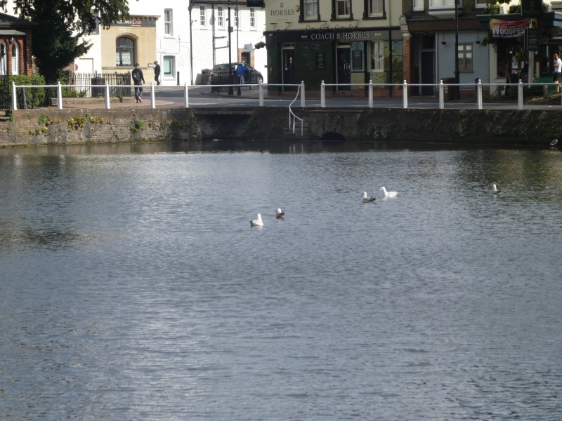
l825 circa. Culvert with segmental arch and parapet in brick with Portland stone
capping and keystones. Immediately to the east a flight of steps ascends to
the top of the road embankment Retaining walls of the embankment are of brick;
these extend either side of the culvert along the south and east embankments
of the eastern part of the Ponds, eastern wall with stone capping.
Road bridge, Leoni Bridge, culvert and retaining walls to Carshalton Ponds
form a group with No 1 High Street and entrance gates to the grove, with
Honeywood Lodge and Wall and Gatehouse, Honeywood Walk, with Anne Boleyn's Well,
St Mary's and Madeley Cottage in Church Hill and with the following items on the
south side of the High Street: Greyhound Inn, wall to east of Greyhound Inn,
Church of All Saints, north churchyard wall and Nos 6 and 12 High Street.
Listing NGR: TQ2796564505
External links are from the relevant listing authority and, where applicable, Wikidata. Wikidata IDs may be related buildings as well as this specific building. If you want to add or update a link, you will need to do so by editing the Wikidata entry.


Other nearby listed buildings
