Approximate Location Map
Large Map »
Latitude: 51.5171 / 51°31'1"N
Longitude: -0.1753 / 0°10'30"W
OS Eastings: 526707
OS Northings: 181374
OS Grid: TQ267813
Mapcode National: GBR 4B.VB
Mapcode Global: VHGQY.X46B
Plus Code: 9C3XGR8F+RV
Entry Name: Mint Wing of St Mary's Hosptial
Listing Date: 2 December 1986
Grade: II
Source: Historic England
Source ID: 1066060
English Heritage Legacy ID: 207686
ID on this website: 101066060
Location: Paddington, Westminster, London, W2
County: London
District: City of Westminster
Electoral Ward/Division: Hyde Park
Parish: Non Civil Parish
Built-Up Area: City of Westminster
Traditional County: Middlesex
Lieutenancy Area (Ceremonial County): Greater London
Church of England Parish: St John Evan Hyde Park Crescent
Church of England Diocese: London
Tagged with: Building
TQ 2681 SE CITY OF WESTMINSTER WINSLAND STREET, W2
52/4 (north-west side off)
2.12.86 Mint wing of St Mary's
Hospital
GV II
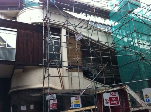
Multi-storey stable range, now converted to hospital use. 1878 for Great Western
Railway with considerable rebuilding including resurfacing of brickwork in 1922
and conversion in 1960s. Yellow brick, ramps partly renewed in concrete. Welsh
slate roof. 3 storeys ranged around an irregular courtyard. To outer walls,
mainly segment-arched windows to ground and 2nd floors, C20 windows in enlarged
openings to 1st floor. Interior of yard: 2 levels of originally open galleries
(now glazed) connected by sloping ramps leading to stables of which the original
openings mainly survive although converted to hospital use. The stables were
constructed to hold approximately 600 horses to serve the main line terminal at
Paddington. Included for historical interest and group value with station.
London's Industrial Heritage, A Wilson,1970, p 90, illustrated on p 91.
Listing NGR: TQ2670781374
External links are from the relevant listing authority and, where applicable, Wikidata. Wikidata IDs may be related buildings as well as this specific building. If you want to add or update a link, you will need to do so by editing the Wikidata entry.


Other nearby listed buildings
