Approximate Location Map
Large Map »
Latitude: 53.3131 / 53°18'47"N
Longitude: -2.9614 / 2°57'40"W
OS Eastings: 336044
OS Northings: 380003
OS Grid: SJ360800
Mapcode National: GBR 7ZR4.N2
Mapcode Global: WH87M.HZ1H
Plus Code: 9C5V827Q+6C
Entry Name: Sundial to South of Porch to St Mary's Church
Listing Date: 2 December 1986
Grade: II
Source: Historic England
Source ID: 1075459
English Heritage Legacy ID: 215380
ID on this website: 101075459
Location: St Mary's Church, Eastham, Wirral, Merseyside, CH62
County: Wirral
Electoral Ward/Division: Eastham
Parish: Non Civil Parish
Built-Up Area: Bebington
Traditional County: Cheshire
Lieutenancy Area (Ceremonial County): Merseyside
Church of England Parish: Eastham St Mary the Blessed Virgin
Church of England Diocese: Chester
Tagged with: Sundial
SJ 38 SE
7/61
BEBINGTON
CHURCH LANE
(north side)
Eastham
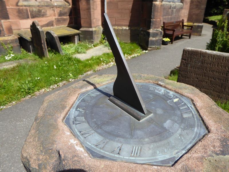
Sundial to south of porch to St. Mary's Church
G.V.
II
Sundial. Formerly dated 1798. Stone simple baluster form
with recessed band on square base; octagonal cap. Plate and
gnomon missing.
Listing NGR: SJ3604480003
External links are from the relevant listing authority and, where applicable, Wikidata. Wikidata IDs may be related buildings as well as this specific building. If you want to add or update a link, you will need to do so by editing the Wikidata entry.


Other nearby listed buildings
