Approximate Location Map
Large Map »
Latitude: 53.4529 / 53°27'10"N
Longitude: -2.6418 / 2°38'30"W
OS Eastings: 357475
OS Northings: 395323
OS Grid: SJ574953
Mapcode National: GBR 9XZH.VY
Mapcode Global: WH98B.DG7R
Plus Code: 9C5VF935+57
Entry Name: Obelisk
Listing Date: 3 February 1966
Grade: II
Source: Historic England
Source ID: 1198967
English Heritage Legacy ID: 216325
ID on this website: 101198967
Location: Newton-le-Willows, St. Helens, Merseyside, WA12
County: St. Helens
Electoral Ward/Division: Earlestown
Parish: Non Civil Parish
Built-Up Area: Newton-le-Willows
Traditional County: Lancashire
Lieutenancy Area (Ceremonial County): Merseyside
Church of England Parish: Earlestown St John
Church of England Diocese: Liverpool
Tagged with: Obelisk Market cross
SJ 59 NE NEWTON-LE-WILLOWS MARKET PLACE
(Earlestown)
5/35 Obelisk
3.2.66
- II
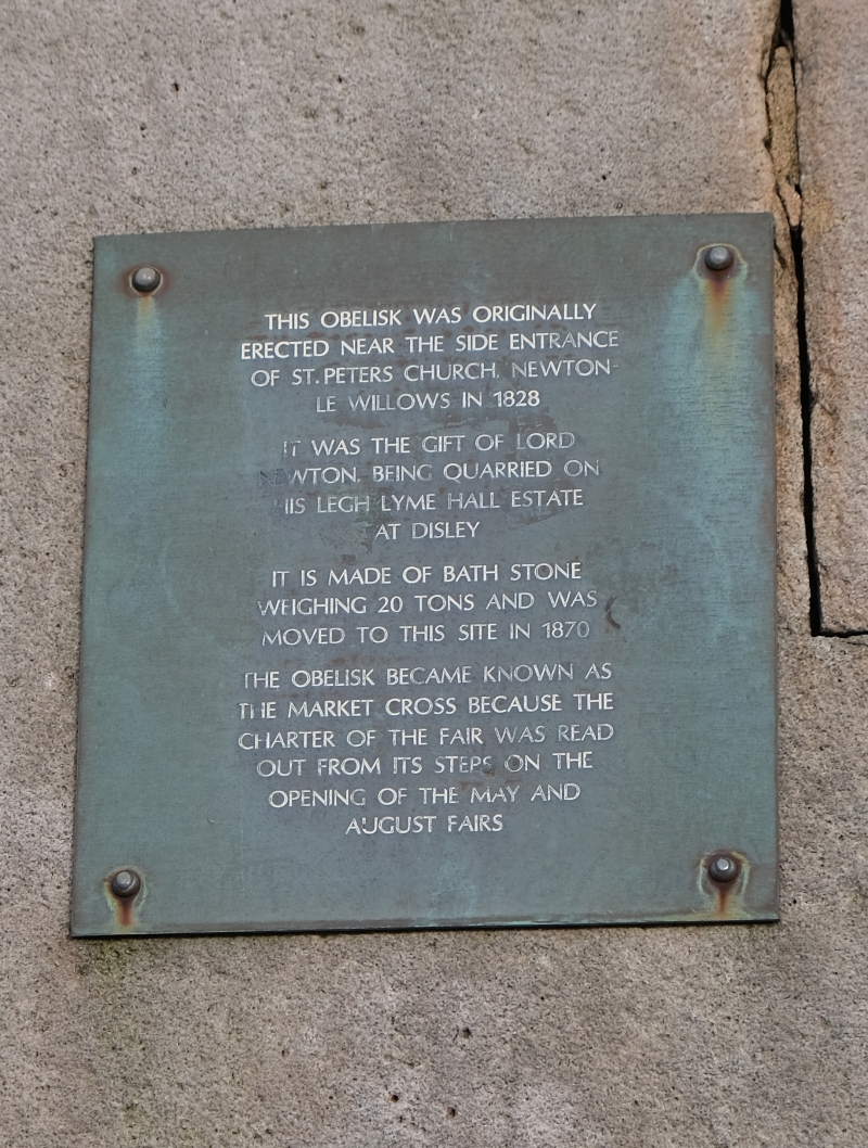
Obelisk. C18. Granite. 3 octagonal steps and plinth with
heavy cornice. Obelisk has raised panels. Originally at
Risley; moved to churchyard of St. Peter's, Newton-le-
Willows in 1819 and to present site in 1897.
Listing NGR: SJ5747595323
External links are from the relevant listing authority and, where applicable, Wikidata. Wikidata IDs may be related buildings as well as this specific building. If you want to add or update a link, you will need to do so by editing the Wikidata entry.


Other nearby listed buildings
