Approximate Location Map
Large Map »
Latitude: 53.5224 / 53°31'20"N
Longitude: -3.0065 / 3°0'23"W
OS Eastings: 333367
OS Northings: 403325
OS Grid: SD333033
Mapcode National: GBR 7WFQ.W1
Mapcode Global: WH86M.SQJK
Plus Code: 9C5RGXCV+WC
Entry Name: Carr Side Farmhouse
Listing Date: 17 January 1986
Grade: II
Source: Historic England
Source ID: 1343287
English Heritage Legacy ID: 216455
ID on this website: 101343287
Location: Sefton, Merseyside, L29
County: Sefton
Civil Parish: Ince Blundell
Traditional County: Lancashire
Lieutenancy Area (Ceremonial County): Merseyside
Church of England Parish: Sefton St Helen
Church of England Diocese: Liverpool
Tagged with: Farmhouse
SD 30 SW
6/57
INCE BLUNDELL,
CARR SIDE LANE (west side),
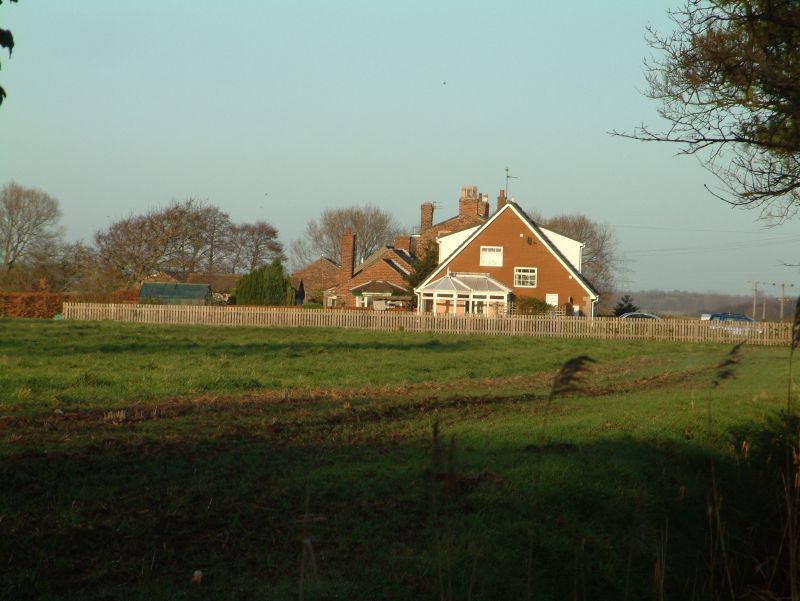
Carr Side Farmhouse
II
Farmhouse. C18 with earlier parts to rear, probably C17. Brick with hipped slate roof. 2 storeys, 4 bays. Bands over floors. Windows have gauged brick cambered arches and are sashed. Central entrance has gabled porch with round-arched opening. Returns and rear have horizontally sliding sashes.
Listing NGR: SD3336703325
External links are from the relevant listing authority and, where applicable, Wikidata. Wikidata IDs may be related buildings as well as this specific building. If you want to add or update a link, you will need to do so by editing the Wikidata entry.


Other nearby listed buildings
