Approximate Location Map
Large Map »
Latitude: 52.387 / 52°23'13"N
Longitude: -1.7284 / 1°43'42"W
OS Eastings: 418578
OS Northings: 276583
OS Grid: SP185765
Mapcode National: GBR 4JG.7TZ
Mapcode Global: VHBX1.083H
Plus Code: 9C4W97PC+QJ
Entry Name: The Manor House
Listing Date: 22 July 1976
Grade: II
Source: Historic England
Source ID: 1076725
English Heritage Legacy ID: 218280
ID on this website: 101076725
Location: Knowle, Solihull, West Midlands, B93
County: Solihull
Electoral Ward/Division: Knowle
Parish: Non Civil Parish
Built-Up Area: Solihull
Traditional County: Warwickshire
Lieutenancy Area (Ceremonial County): West Midlands
Church of England Parish: Knowle
Church of England Diocese: Birmingham
Tagged with: House
SOLIHULL KNOWLE
1. KENILWORTH ROAD
5108
(South Side)
The Manor House
SP 1876 20/439
II
2.
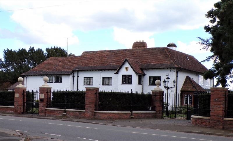
Late C16 house altered circa 1900. Timber frame under colour washed roughcast.
Tiled roof gabled at back. 2 storeys, casement windows. Red brick early chimeystack
with arched panel. Some exposed internal beams.
Listing NGR: SP1857876583
External links are from the relevant listing authority and, where applicable, Wikidata. Wikidata IDs may be related buildings as well as this specific building. If you want to add or update a link, you will need to do so by editing the Wikidata entry.


Other nearby listed buildings
