Approximate Location Map
Large Map »
Latitude: 52.4229 / 52°25'22"N
Longitude: -1.5594 / 1°33'33"W
OS Eastings: 430061
OS Northings: 280642
OS Grid: SP300806
Mapcode National: GBR H2G.CG
Mapcode Global: VHBWX.XCHD
Plus Code: 9C4WCCFR+57
Entry Name: 75 and 77, Birmingham Road
Listing Date: 24 June 1974
Grade: II
Source: Historic England
Source ID: 1076665
English Heritage Legacy ID: 218425
ID on this website: 101076665
Location: Coventry, West Midlands, CV5
County: Coventry
Electoral Ward/Division: Bablake
Parish: Non Civil Parish
Built-Up Area: Coventry
Traditional County: Warwickshire
Lieutenancy Area (Ceremonial County): West Midlands
Church of England Parish: Allesley All Saints
Church of England Diocese: Coventry
Tagged with: Building
1.
5105 BIRMINGHAM ROAD
(South Side)
----------------
Nos 75 and 77
SP 3080 NW 5/218
II GV
2.
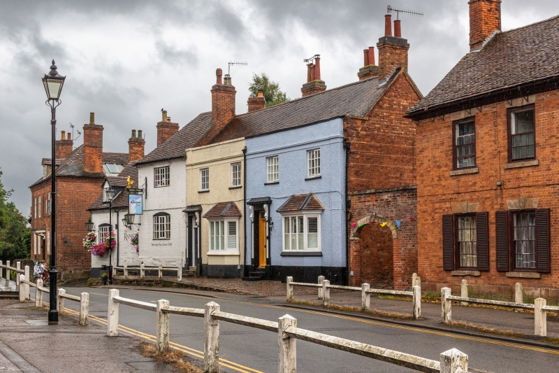
Early to mid C19 front now covered in pebbledash. Tiled roof. 2 storeys, cornice
band, parapet. 4 casement windows, glazing bars to 1st floor. 2 doorways with
cornices on consoles. Included for group value.
Nos 75 to 79 (odd) form a group.
Listing NGR: SP3006280640
External links are from the relevant listing authority and, where applicable, Wikidata. Wikidata IDs may be related buildings as well as this specific building. If you want to add or update a link, you will need to do so by editing the Wikidata entry.


Other nearby listed buildings
