Approximate Location Map
Large Map »
Latitude: 52.6034 / 52°36'12"N
Longitude: 0.3679 / 0°22'4"E
OS Eastings: 560451
OS Northings: 303257
OS Grid: TF604032
Mapcode National: GBR N5F.PV8
Mapcode Global: WHJPS.MTDJ
Plus Code: 9F42J939+95
Entry Name: Wall of Garden of Laburnum House
Listing Date: 16 November 1972
Grade: II
Source: Historic England
Source ID: 1342631
English Heritage Legacy ID: 221169
ID on this website: 101342631
Location: Downham Market, King's Lynn and West Norfolk, Norfolk, PE38
County: Norfolk
District: King's Lynn and West Norfolk
Civil Parish: Downham Market
Built-Up Area: Downham Market
Traditional County: Norfolk
Lieutenancy Area (Ceremonial County): Norfolk
Church of England Parish: Downham Market
Church of England Diocese: Ely
Tagged with: Wall
1.
1051
TF 60 SW
1/95A
RAILWAY ROAD (North Side)
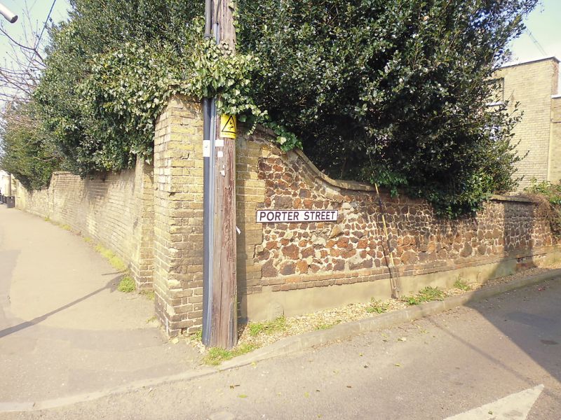
Wall of garden of Laburnum Home
II
2.
C18, carstone and red brick, about 6 ft high, at front towards road with return, east.
Listing NGR: TF6045103257
External links are from the relevant listing authority and, where applicable, Wikidata. Wikidata IDs may be related buildings as well as this specific building. If you want to add or update a link, you will need to do so by editing the Wikidata entry.


Other nearby listed buildings
