Approximate Location Map
Large Map »
Latitude: 55.1072 / 55°6'25"N
Longitude: -1.4984 / 1°29'54"W
OS Eastings: 432097
OS Northings: 579311
OS Grid: NZ320793
Mapcode National: GBR K9ZD.D0
Mapcode Global: WHC30.YWMN
Plus Code: 9C7W4G42+VJ
Entry Name: Fort on Blyth Links
Listing Date: 7 April 1988
Grade: II
Source: Historic England
Source ID: 1041334
English Heritage Legacy ID: 236082
ID on this website: 101041334
Location: Northumberland, NE24
County: Northumberland
Civil Parish: Blyth
Built-Up Area: Blyth
Traditional County: Northumberland
Lieutenancy Area (Ceremonial County): Northumberland
Church of England Parish: Blyth St Cuthbert
Church of England Diocese: Newcastle
Tagged with: Building
BLYTH LINKS ROAD
NZ 37 NW
(EAST SIDE)
5/120 Fort on Blyth
Links
GV II
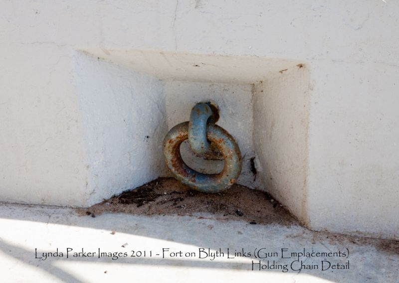
Coastal defence fort. Late C19 in origin, remodelled 1914-18; some altera-
tions 1939-45. Reinforced concrete; brick. The fort, built on and partly into
a sand-dune hill, consists of a pair of gun emplacements facing seawards, a
magazine and shell store built into the landward face of the dune, a shelter
block to the south, and a Defence Electric Light director station and
blockhouse to the north. The gun emplacements are each fronted by a sloping
apron of reinforced concrete, and are linked by a wall backed by a lower-level,
flat-roofed shelter block; in the internal wall face at each end of the shelter
are cupboards with heavy iron doors. The flat-roofed superstructure of each
emplacement is a 1939-45 addition. Facing the internal wall of the shelter is
the detached R.A. store with a boarded door, 2 small windows and a flat felted
roof. The officers' and men's shelter (now a public convenience) is a
flat-roofed rectangular building with a door and 4 windows on the south. The
magazine and shell store have a front wall facing west, with 2 doorways, a
boarded window and a barred 4-pane sash; two low openings above and a narrow
opening on the right into the blast space surround. The director station is a
2-storey 6-sided tower with a metal-sheeted rangefinder housing on the flat
top; on the west is an iron stair up to a balcony on cantilever brackets. The
5-sided blockhouse has a door and 2 boarded hatches; flat concrete roof.
Between the director station and the blockhouse is a 1939-45 lookout tower.
HISTORICAL NOTE: Originally known as Fort Coulson after the Royal Engineer
Captain responsible for its construction, the Link House Battery carried two
6-inch guns in World War 1. Later disused, it was returned to Blyth
Corporation in 1925, but re-commissioned in World War II. Rare survival of a
World War 1 coastal defence complex.
Listing NGR: NZ3209779310
External links are from the relevant listing authority and, where applicable, Wikidata. Wikidata IDs may be related buildings as well as this specific building. If you want to add or update a link, you will need to do so by editing the Wikidata entry.


Other nearby listed buildings
