Approximate Location Map
Large Map »
Latitude: 54.9841 / 54°59'2"N
Longitude: -2.0247 / 2°1'28"W
OS Eastings: 398518
OS Northings: 565500
OS Grid: NY985655
Mapcode National: GBR GB9T.G4
Mapcode Global: WHB26.WZ1H
Plus Code: 9C6VXXMG+J4
Entry Name: Bridge on Old Road over Cor Burn
Listing Date: 24 May 1988
Grade: II
Source: Historic England
Source ID: 1303704
English Heritage Legacy ID: 239856
ID on this website: 101303704
Location: Northumberland, NE45
County: Northumberland
Civil Parish: Corbridge
Built-Up Area: Corbridge
Traditional County: Northumberland
Lieutenancy Area (Ceremonial County): Northumberland
Church of England Parish: Corbridge with Halton and Newton Hall
Church of England Diocese: Newcastle
Tagged with: Bridge
NY 96 NE NY 985655
5/95
CORBRIDGE
A 68 (East side,off)
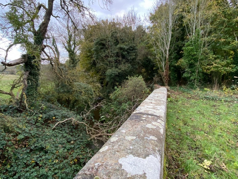
Bridge on old road,
over Cor Burn
II
Bridge, probably late C18. Squared stone with rubble approach walls. Segmental
arch with arch ring, chamfered parapet. Flat-coped approach walls.
Listing NGR: NY9851865500
External links are from the relevant listing authority and, where applicable, Wikidata. Wikidata IDs may be related buildings as well as this specific building. If you want to add or update a link, you will need to do so by editing the Wikidata entry.


Other nearby listed buildings
