Approximate Location Map
Large Map »
Latitude: 51.7544 / 51°45'15"N
Longitude: -1.2579 / 1°15'28"W
OS Eastings: 451324
OS Northings: 206450
OS Grid: SP513064
Mapcode National: GBR 8YY.SZR
Mapcode Global: VHCXV.45WD
Plus Code: 9C3WQP3R+QV
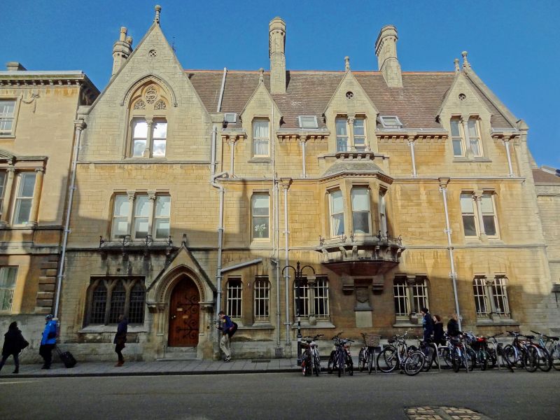
Entry Name: Balliol College, Masters Lodging, Garden Quadrangle
Listing Date: 29 January 1968
Grade: II
Source: Historic England
Source ID: 1046766
English Heritage Legacy ID: 244846
ID on this website: 101046766
Location: Oxford, Oxfordshire, OX1
County: Oxfordshire
District: Oxford
Electoral Ward/Division: Carfax
Parish: Non Civil Parish
Built-Up Area: Oxford
Traditional County: Oxfordshire
Lieutenancy Area (Ceremonial County): Oxfordshire
Church of England Parish: Oxford St Mary Magdalen
Church of England Diocese: Oxford
Tagged with: Building
BALLIOL COLLEGE
1.
1485
Garden Quadrangle
Master's Lodging
(on Broad Street)
SP 5106 SW 8/138H 29.1.68.
II
2.
1867-9 by A Waterhouse in Box Ground stone on Forest Marble plinth. (The
Lodgings form 1 house with range on the West side of the Front Quadrangle).
Listing NGR: SP5132506450
External links are from the relevant listing authority and, where applicable, Wikidata. Wikidata IDs may be related buildings as well as this specific building. If you want to add or update a link, you will need to do so by editing the Wikidata entry.


Other nearby listed buildings
