Approximate Location Map
Large Map »
Latitude: 51.7455 / 51°44'43"N
Longitude: -1.2562 / 1°15'22"W
OS Eastings: 451450
OS Northings: 205466
OS Grid: SP514054
Mapcode National: GBR 8Z4.F79
Mapcode Global: VHCXV.5DR6
Plus Code: 9C3WPPWV+6G
Entry Name: Wall of Grandpont House
Listing Date: 28 June 1972
Grade: II
Source: Historic England
Source ID: 1369699
English Heritage Legacy ID: 245282
ID on this website: 101369699
Location: Grandpont, Oxford, Oxfordshire, OX1
County: Oxfordshire
District: Oxford
Electoral Ward/Division: Hinksey Park
Parish: Non Civil Parish
Built-Up Area: Oxford
Traditional County: Berkshire
Lieutenancy Area (Ceremonial County): Oxfordshire
Church of England Parish: Oxford St Matthew
Church of England Diocese: Oxford
Tagged with: Wall
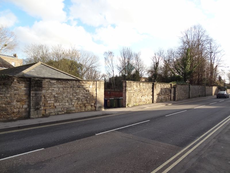
ABINGDON ROAD
1.
1485
(East Side)
Wall of Grandpont House
SP 50 NW 24/605A
II
2.
C18. Stone wall fronting Abingdon Road.
Listing NGR: SP5145005466
External links are from the relevant listing authority and, where applicable, Wikidata. Wikidata IDs may be related buildings as well as this specific building. If you want to add or update a link, you will need to do so by editing the Wikidata entry.


Other nearby listed buildings
