Approximate Location Map
Large Map »
Latitude: 51.7518 / 51°45'6"N
Longitude: -1.26 / 1°15'36"W
OS Eastings: 451177
OS Northings: 206154
OS Grid: SP511061
Mapcode National: GBR 8Z4.08D
Mapcode Global: VHCXV.37QF
Plus Code: 9C3WQP2Q+PX
Entry Name: Oxfordshire Light Infantry Memorial
Listing Date: 28 June 1972
Grade: II
Source: Historic England
Source ID: 1338518
English Heritage Legacy ID: 245696
ID on this website: 101338518
Location: Oxford, Oxfordshire, OX1
County: Oxfordshire
District: Oxford
Electoral Ward/Division: Carfax
Parish: Non Civil Parish
Built-Up Area: Oxford
Traditional County: Oxfordshire
Lieutenancy Area (Ceremonial County): Oxfordshire
Church of England Parish: Oxford St Ebbe with Holy Trinity and St Peter le Bailey
Church of England Diocese: Oxford
Tagged with: War memorial Memorial
NEW ROAD
1.
1485
(North Side)
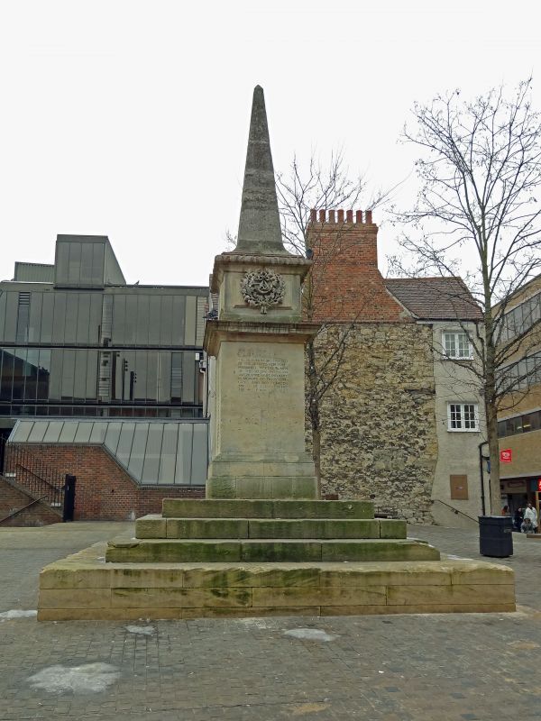
Oxfordshire Light
Infantry Memorial
SP 5106 SW 8/783
II
2.
Dated 1897-8. Stone. Square plinth with cornice topped by n obelisk.
Listing NGR: SP5117706154
External links are from the relevant listing authority and, where applicable, Wikidata. Wikidata IDs may be related buildings as well as this specific building. If you want to add or update a link, you will need to do so by editing the Wikidata entry.


Other nearby listed buildings
