Approximate Location Map
Large Map »
Latitude: 51.756 / 51°45'21"N
Longitude: -1.2611 / 1°15'40"W
OS Eastings: 451097
OS Northings: 206629
OS Grid: SP510066
Mapcode National: GBR 8YY.S0H
Mapcode Global: VHCXV.3445
Plus Code: 9C3WQP4Q+CH
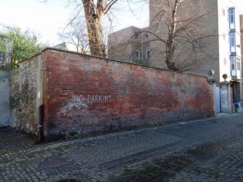
Entry Name: Boundary Wall of Blackfriars on Pusey Lane
Listing Date: 28 June 1972
Grade: II
Source: Historic England
Source ID: 1369441
English Heritage Legacy ID: 245852
ID on this website: 101369441
Location: Oxford, Oxfordshire, OX1
County: Oxfordshire
District: Oxford
Electoral Ward/Division: Carfax
Parish: Non Civil Parish
Built-Up Area: Oxford
Traditional County: Oxfordshire
Lieutenancy Area (Ceremonial County): Oxfordshire
Church of England Parish: Oxford St Mary Magdalen
Church of England Diocese: Oxford
Tagged with: Wall
ST GILES' STREET
1.
1485
(West Side)
Boundary Wall of
Blackfriars on
Pusey Lane
SP 5106 NW 5/837
II
2.
Medieval and later stone rubble and red brick walls much broken and repaired.
2 gate piers with ball finials.
Listing NGR: SP5109706629
External links are from the relevant listing authority and, where applicable, Wikidata. Wikidata IDs may be related buildings as well as this specific building. If you want to add or update a link, you will need to do so by editing the Wikidata entry.


Other nearby listed buildings
