Approximate Location Map
Large Map »
Latitude: 51.5965 / 51°35'47"N
Longitude: -1.3366 / 1°20'11"W
OS Eastings: 446047
OS Northings: 188840
OS Grid: SU460888
Mapcode National: GBR 7ZF.YP2
Mapcode Global: VHCYK.S47F
Plus Code: 9C3WHMW7+J9
Entry Name: K6 Telephone Kiosk
Listing Date: 6 June 1988
Grade: II
Source: Historic England
Source ID: 1048097
English Heritage Legacy ID: 250236
ID on this website: 101048097
Location: East Hendred, Vale of White Horse, Oxfordshire, OX12
County: Oxfordshire
District: Vale of White Horse
Civil Parish: East Hendred
Built-Up Area: East Hendred
Traditional County: Berkshire
Lieutenancy Area (Ceremonial County): Oxfordshire
Tagged with: K6 telephone box
SU 4688 EAST HENDRED
20/115
HIGH STREET (West side)
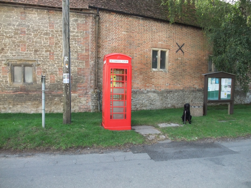
K6 Telephone Kiosk
GV
II
Telephone kiosk, Type K6. Designed 1935 by Sir Giles Gilbert Scott. Made by various
contractors. Cast Iron. Square kiosk with domed roof. Unperforated crowns to top
panels and margin glazing to windows and door.
Listing NGR: SU4604888842
External links are from the relevant listing authority and, where applicable, Wikidata. Wikidata IDs may be related buildings as well as this specific building. If you want to add or update a link, you will need to do so by editing the Wikidata entry.


Other nearby listed buildings
