Approximate Location Map
Large Map »
Latitude: 52.5366 / 52°32'11"N
Longitude: -2.4197 / 2°25'10"W
OS Eastings: 371629
OS Northings: 293278
OS Grid: SO716932
Mapcode National: GBR BZ.F70J
Mapcode Global: VH90Z.0HNS
Plus Code: 9C4VGHPJ+J4
Entry Name: 1 and 2, Church Street
Listing Date: 9 March 1970
Grade: II
Source: Historic England
Source ID: 1053988
English Heritage Legacy ID: 254390
ID on this website: 101053988
Location: High Town, Shropshire, WV16
County: Shropshire
Civil Parish: Bridgnorth
Built-Up Area: Bridgnorth
Traditional County: Shropshire
Lieutenancy Area (Ceremonial County): Shropshire
Church of England Parish: Bridgnorth
Church of England Diocese: Hereford
Tagged with: Building
1.
1954 BRIDGNORTH
CHURCH STREET
(South Side)
Nos 1 and 2
SO 79 SW 2/52 9.3.70.
II GV
2.
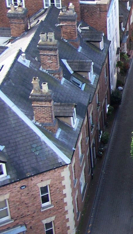
C18. Red brick; 2 storeys; 6 windows and a three-light oriel window;
moulded wood doorcase; 2 gabled dormers; tiles.
Northgate Café, Nos 1 to 3 (consec) form a group
Listing NGR: SO7162993278
External links are from the relevant listing authority and, where applicable, Wikidata. Wikidata IDs may be related buildings as well as this specific building. If you want to add or update a link, you will need to do so by editing the Wikidata entry.


Other nearby listed buildings
